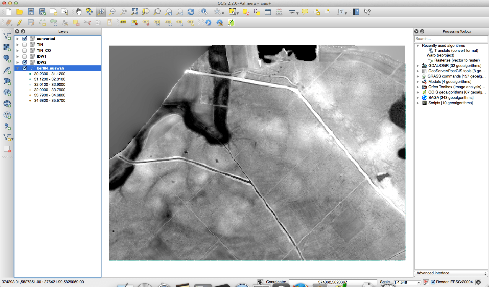
The geodata department of the city of Berlin offers a great portfolio of free geodata for everyone to use. One dataset is the result of some LIDAR measurements and is offered as a txt with x,y and d values. This is commonly known as xyz data but should not be mistaken as a simple whatever-delimited text file. This dataset is regular spaced and therefore can be threatened easily with QGIS. But let me first show you some interpolation results which can be produced as well. Interpolational madness If you want to create raster data from a point shapefile or a…
We use cookies to ensure that we give you the best experience on our website. If you continue to use this site we will assume that you are happy with it.Ok