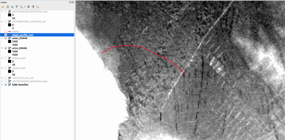
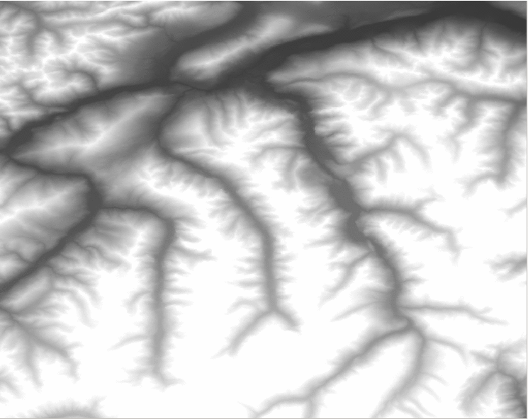
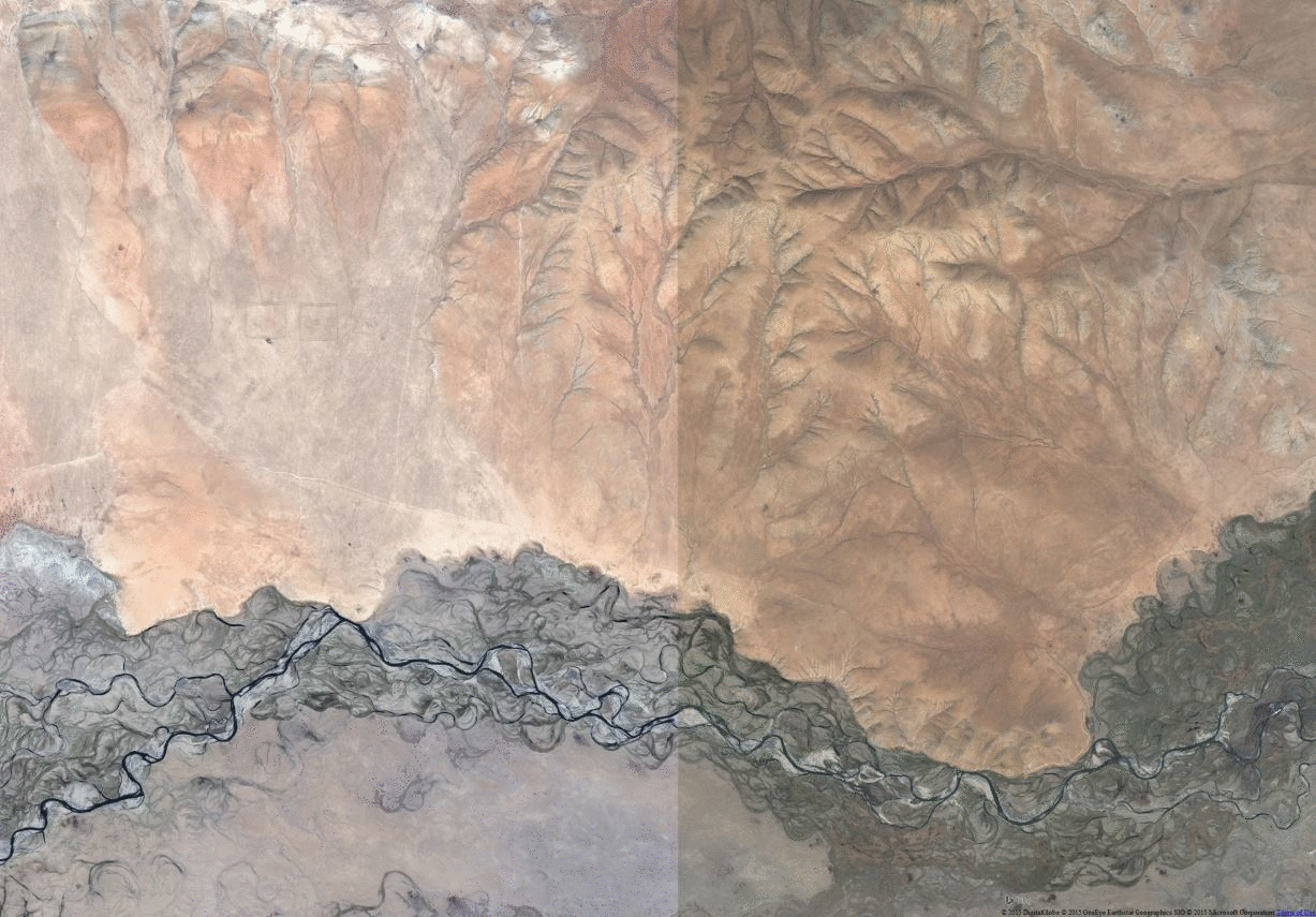
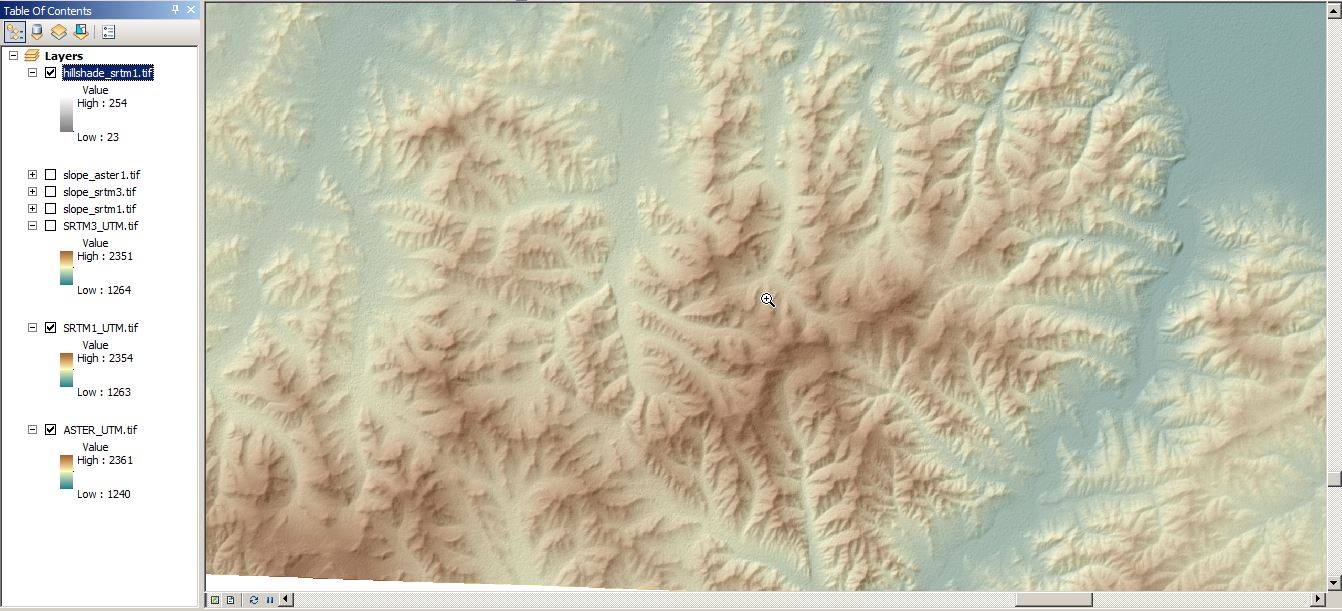
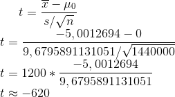
Beautiful Watershed Polygons in QGIS
As the title sugests I am showing you, how to create beautiful watershed polygons. We will start with some raster files and use a nice GRASS tool for the main work. But why “beautiful”? As I am a big fan of webmaps and raster analytics tend to result in ugly rectangular structures I am fan of smooth stuff. So check this small tutorial.Comparing ALOS Global Digital Surface Model “ALOS World 3D – 30m” with SRTM 1
The last post with the focus on recent data for your work when it comes to DSMs or DEMs was a bit early honestly. I was working with the ALOS Global Digital Surface Model “ALOS World 3D – 30m” and I was comparing this with the SRTM 1 dataset for my beloved Kharkhorin area in Central Mongolia. So what is this ALOS model and how it performs?Short Announcement: “Quality Check” on SRTM1
Well, I was expecting this. Damn, those new SRTM1 raster files provided via EarthExplorer by the USGS are sweet. You can download them right away just by creating an account on EarthExplorer and you can get worldwide coverage except the middle East (political reasons?). How is the data quality? Some short insights:SRTM-1 (1 Arc second) now available with large global coverage
With this post I would like to come back on a topic from September 2014. In this blog post on Digital-Geography I announced that from September 2014 until September 2015 high-resultion SRTM-data will be provided for free by the USGS. We also announced the estimated release dates for certain regions around the globe. After checking the progress of the release in EarthExplorer, I realized that the release is proceeding much faster than expected. Till this day, only Norhteast Africa is missing. Parts of Canada, Russia, Greenland, Scandinavia, Artica and Antarctica are missing due to the SRTM coverage limit of…
Raster Comparison using ArcGIS
In one of the biggest groups of geoscientists in Germany, Austria and Switzerland the question arose how to do a raster comparison in ArcGIS. I’ve already mentioned some aspects of it in a short article with QGIS but let’s take a look on how to do this with ArcGIS and concentrate on the analysis more than on the data.DEM comparison: SRTM 3 vs. ASTER GDEM v2
Let’s get ready to rumble! No, just kidding. We are all excited about the recent message from the white house: SRTM “1” (1 equals 1 arcsecond, whereas 3 was indicating the 3 arcsecond a.k.a. 90m DEM) or the official title SRTM-2 will be available for free in the next months (orig. here, dg here). So why is it so important? Most DEM-interested people will answer: “Use the ASTER DEM if you need 30m!”. But let us have a closer look on both systems and how they perform.Announcement: Realease of worldwide high-resultion SRTM-data (30m)
The White House announced on September 23th during the United Nations Heads of State Climate Summit in New York that they are going to release the high-resolution images of SRTM globally. Until now, the high-resolution imagery were only available for US-areas. All other countries had lower resolution imagery. Due to this release the 30m x 30m imagery will be available globally and substitute the 90m x 90m data. After its release the data will be accessible on EarthExplorer by the US Geological Service (USGS). Unfortunately they didn’t announce an exact release date (only “will be released globally over the next year”). That…
short announce: Reverb @NASA the new WIST
Sorry to talk about this important tool with a little delay. As I was lecturing at the university I was using the Warehouse Inventory Search Tool (WIST) by NASA to collect my raster data and download them. It was a great tool but looked a little old. The biggest difference to services like landcover.org or the SRTM Tile Grabber is, that most data was ordered and delivered by FTP. It was not a big deal as most data was available for free but I think for a lot of users this was not “convenient” enough… Nevertheless Reverb- the new WIST-…
Innovative SRTM Download
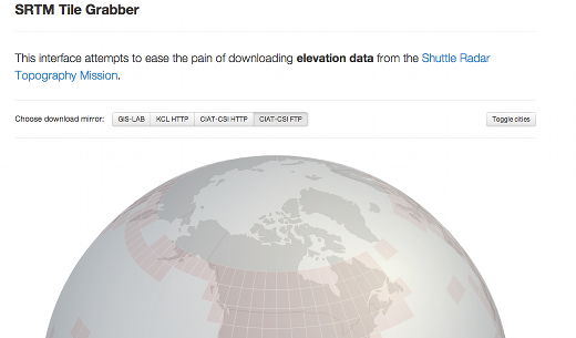
It’s been a couple weeks since I’ve posted here, but I just found something I wanted to pass along. If you work with geospatial data, you are probably familiar with the Shuttle Radar Topography Mission (SRTM) that collected elevation data over much of Earth. These data are available from a number of interfaces on the Web, but this is one of the nicest, and most innovative, ones I’ve found. SRTM Tile Grabber Just find the spot on Earth you are interested in and you can download the SRTM data for that area as a geotiff. I think this is probably…