
Remote Sensing at AGU (part II- vegetation time series)
In a previous post I talked about some of the remote sensing themes during the first half of the American Geophysical Union Fall meeting. Here I want to talk…
In a previous post I talked about some of the remote sensing themes during the first half of the American Geophysical Union Fall meeting. Here I want to talk…
The Fall Meeting of the American Geophysical Union is one of the largest annual gatherings of scientists. Some 22000 have descended on San Francisco to discuss topics from…
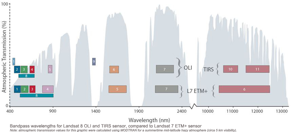
In my previous post I described the difficult process that led to the launch of Landsat-8. Here I will comment on the two sensors, the Operational Land Imager…
I was recently reading the 2012 article by James R. Irons and colleagues describing the Landsat-8 mission (or Landsat Data Continuity Mission, LDCM, as it was then called)¹.…

One thing about working with synethic aperture radar (SAR) data is that regular image processing functions are often unsuitable. This is because most processes were design to deal…
InSAR (Interferometric Synthetic Aperture Radar) is one of the greatest remote sensing tools for everyone interested in crustal movements. The principle is simple: A satellite equipped with a…
At the moment I am beta testing ENVI 5.1 and have been working with the new Region of Interest (ROI) tool. The new tool looks good with some…
Talking to a colleague recently about monitoring changes to the magrove forest of the Rufiji Delta in tanzania, he commented on the relative scarcity of satellite data over…
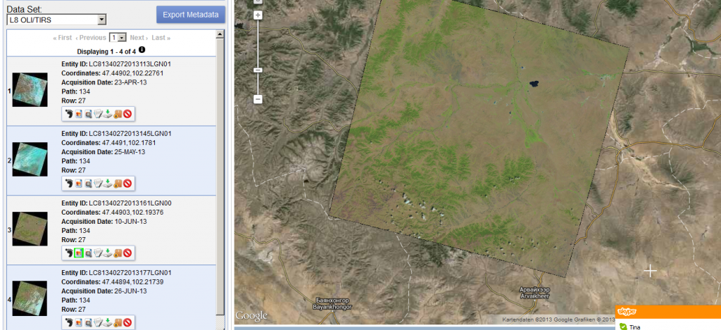
Thanks to a post from the mapbox colleagues I’ve found out that new Landsat 8 scenes are already available on EarthExplorer. The data is great!!!
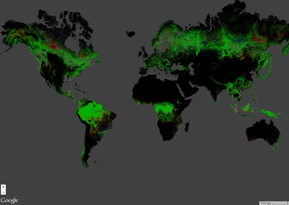
On the 9th of May Google introduced an astonishing new technology that makes the good old flickr function in Erdas Imagine quite useless. With the Earth Engine from…
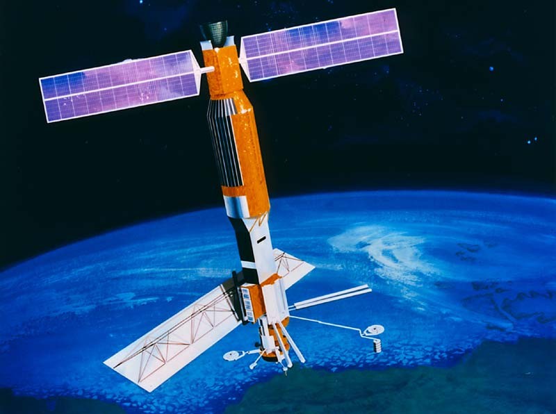
If you have been working in the space remote sensing community for any length of time you have almost certainly crossed paths with Landsat 5. After 29 years…