Beautiful Watershed Polygons in QGIS
As the title sugests I am showing you, how to create beautiful watershed polygons. We will start with some raster files and use a nice GRASS tool for…

When working with raster datasets, it is hard to keep an overview of the raster files in use and their coverage. Most raster data providers may keep metadata…
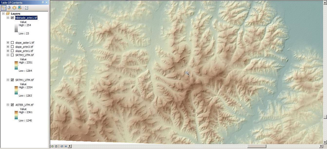
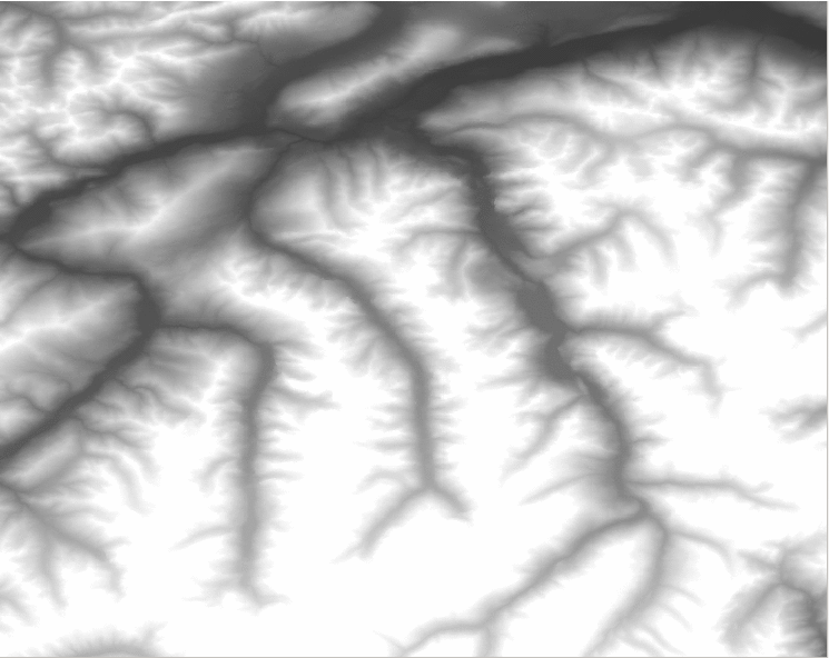
< p align=”justify”>Digital elevation models (DEMs) exist today for the entire globe with consistent quality. Improvements in sensors and data processing give a clue that in the future…

A short time ago I’ve posted an article on the installation of QGIS in combination with a PostGIS database in the background. As we all know, Windows is…
I’m always looking for good sources of free data, so I thought I would post a few here in case they were useful to others. The sources listed…
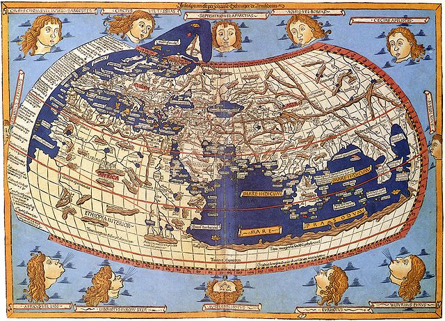
Map Projections The question of map projections and how to reproject data is one that comes up often in discussions with both experienced colleagues and those new to…
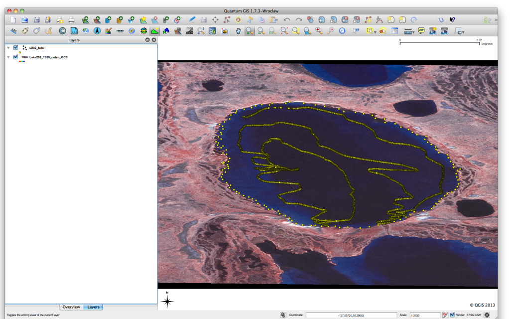
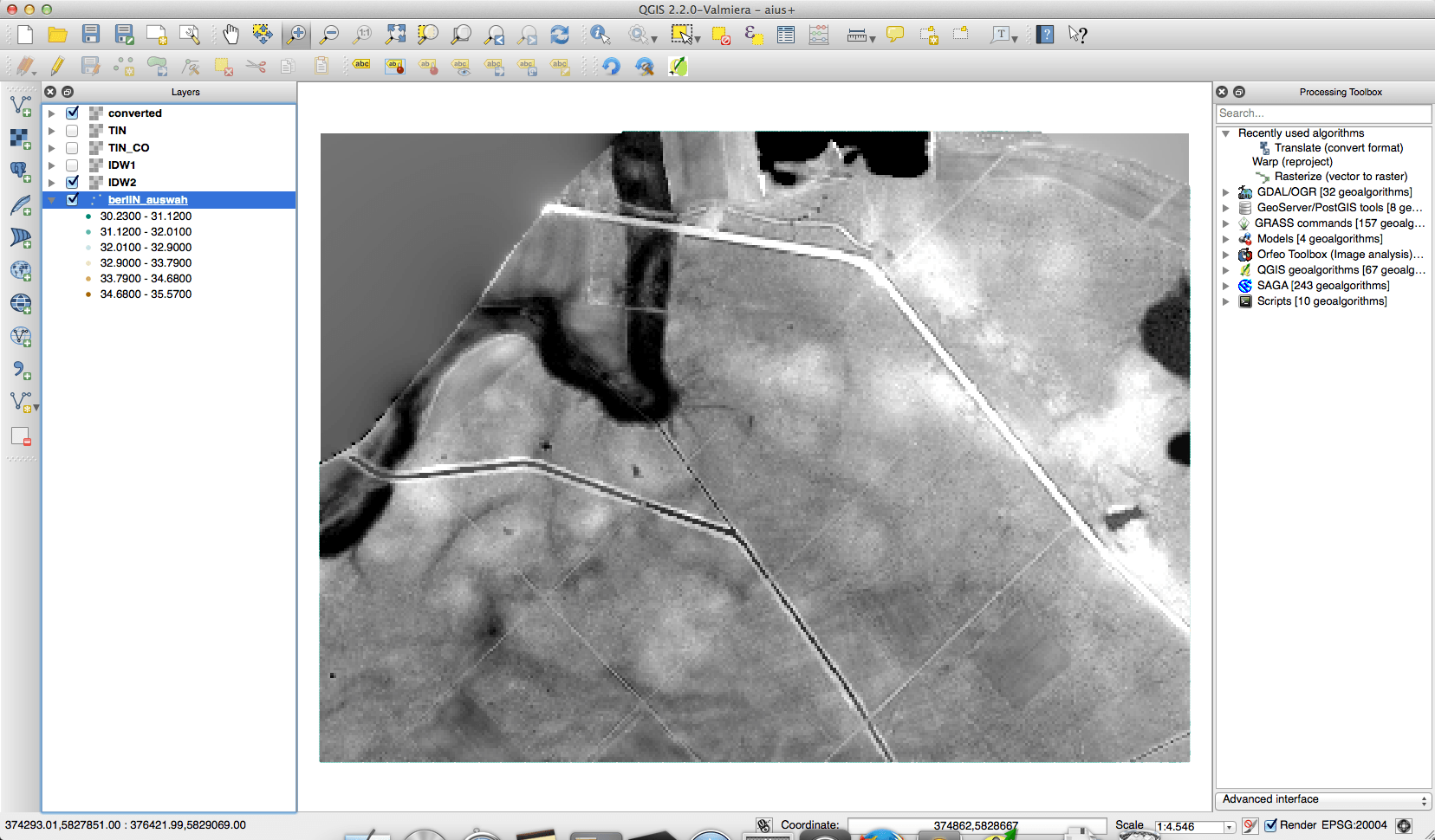
Previous posts in this series QGIS Plugin – RasterCalc QGIS Plugin – OpenLayers Point Sampling Tool I have recently been working on a project that has required the…
If you have been working in the space remote sensing community for any length of time you have almost certainly crossed paths with Landsat 5. After 29 years…