
Create A Raster Layer Index With QGIS And GDAL
When working with raster datasets, it is hard to keep an overview of the raster files in use and their coverage. Most raster data providers may keep metadata…
When working with raster datasets, it is hard to keep an overview of the raster files in use and their coverage. Most raster data providers may keep metadata…
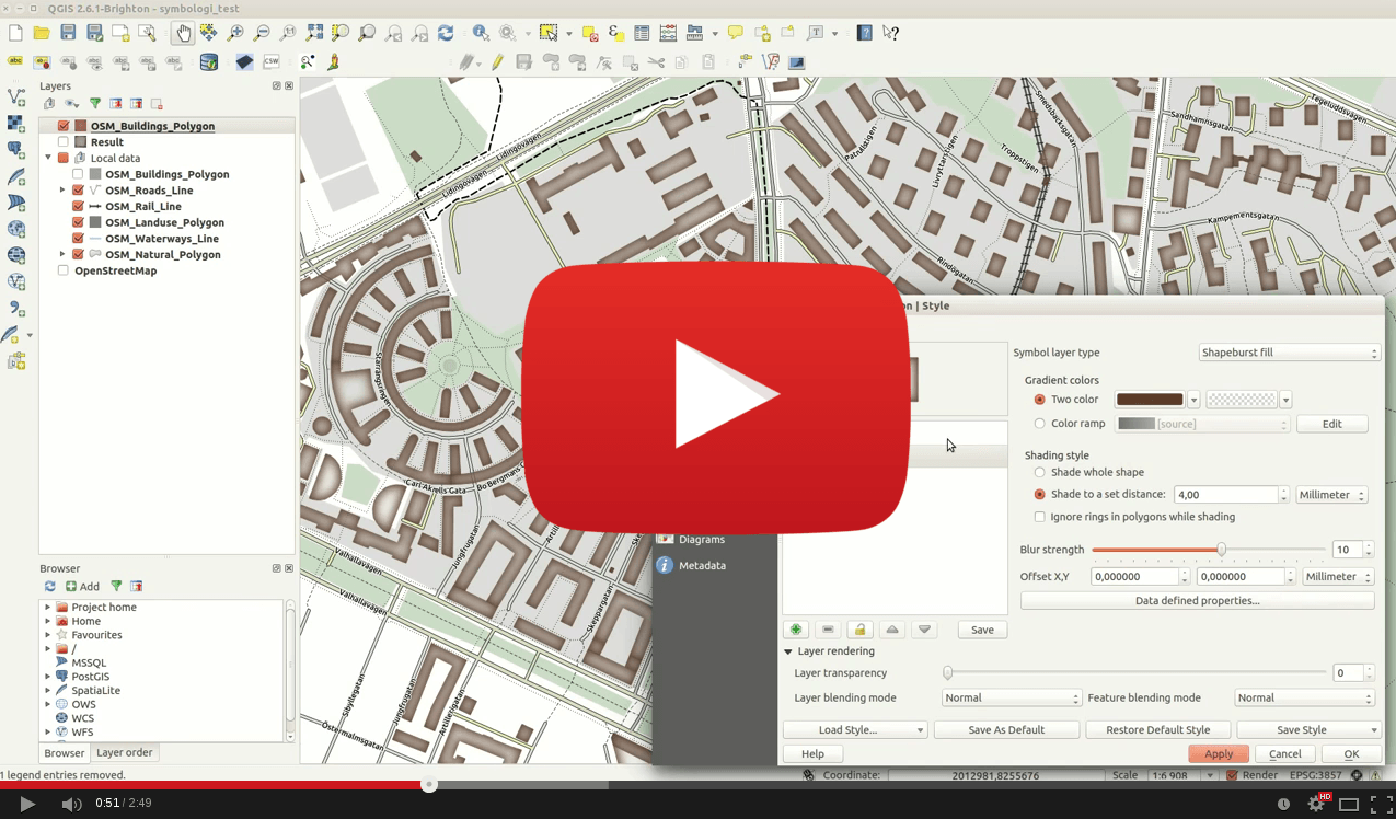
I’ve been experimenting with very short QGIS tips on YouTube, and if you like them I’ll continue to create them. They may or may not reveal something extraordinary,…
Since QGIS 2.6 was released with a lot of new features and functions I’ve been testing it sporadic and have come to realise that the quality and functionality…
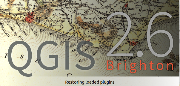
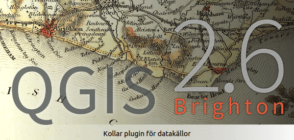
Yesterday QGIS 2.6 Brighton was released. Now all systems are supported as also KyngChaos compiled a new version for QGIS 2.6 (source). In this post, I thought myself…
At least for Linux…[update: and Windows!] For Windows and Mac it’s just a question of time…

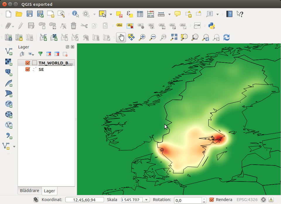
OpenStreetmap is the fastest growing community mapping project of all times. Beside the “normal” map result, what you can use for your daily navigation through cities and countries…
Are you curious about QGIS 2.6? Well on Friday (9-26) QGIS development goes into feature freeze and focus will shift towards fixing bugs and enhancing stability. What can…