Some ways to produce topographic swath profiles
For a geomorphological study that I am working on I want to produce topographic swath profiles across a mountain range, that is, I want the average elevation along a profile plus the min and max values within a certain distance of said profile. I have used three different methods to achieve that and found some nice resources that I’d like to share with you: GMT – Generic Mapping Tools GMT is a powerful suite of command-line small programs to manipulate all kinds of geographic data (Wessel and Smith, 1998; Wessel et al., 2013). A walk through on how to produce…
QGIS and basemaps: QuickMapServices
To work in QGIS is very often much more convenient if you can use a basemap for your data. In the past we used and promoted OpenLayers plugin quite often but this was not the best out there as you saw often some issues with projections as well as with “lost tiles” in the map composer. So here is the new weapon of choice: the QuickMapServices plugin for QGIS.The new flickr2qgis plugin for QGIS
In the last week I saw a post on the German ESRI page called GIS-IQ which featured a new widget for ArcGIS which needs you to have the “ArcGIS Web AppBuilder Developer Edition 1.2”. This widget lets you fetch images from flickr and probably show it on the map. I haven’t tried it yet but I thought: lets build something similar for QGIS… so here is my flickr API plugin for QGISHow a QGIS plugin saved my day: autotrace
One of my favourite horror exercises for students was the digitization of geological maps. Everyone hated it as you need to take of snapping options, correct attributes, and always needed to check with the background map which was most of the times a bad quality scan of an old never-heard-of-this-country geological map. Today I needed to do this work for myself… what goes around, comes around.How far can you travel? Answers in QGIS with OSM route.
My latest posts on routing in QGIS were read from some guys at the University Heidelberg who provide the API for the routing. The contacted me with the simple call: “Let’s create a plugin”. And here it is: OSM route…share your qgis project: the relocator plugin
Since I developed qgis2leaf together with some great supporters we always struggled with sharing a qgis project: we use different layers, different visualizations and so on. It’s not easy to make sure you’re talking about the same. So why not make it possible to export a whole qgs project with one click…Landsat in Love with QGIS: the newest coup from Luca
The normal way of getting Landsat data for your GIS projects often was: visit a Landsat data mart like landcover.org, earthexplorer or WIST, search for your area and time and download/order your desired data. Once you’ve done this, you were prepared to add, analyse and publish this data/results with QGIS. Luca Congedo from the blog “From GIS to Remote Sensing” .reproject and filetype change in python/pyqgis for QGIS plugin
In my current work on the qgis2leaf plugin I had the idea to place raster data on a leaflet map as an image overlay. With this in mind and looking at a webmap I needed to consider a good filesize, a strict projection of EPSG:4326 and a strict filetype as well. So decision was: projecting everythin to EPSG:4326 and changing file type to *.jpg. I know, how to do this in the Terminal and in QGIS. But what options do you have using python/ pyqgis only? Terminal For doing this work in the terminal/shell/command line the one and only choice…How to build your own QGIS plugin
Since I’ve created the QGIS plugin qgis2leaf I was surprised how easy it is to create a plugin for QGIS. In this post I would like to show you how to build a basic buffer-plugin and give some tips for debugging and developing. the plugin template QGIS plugins are competely build in Python: the UI can be designed with QT designer using PyQT. The whole logic of the plugin needs to be written in Python as well. But lets be honest: It would be great if you would have a starting point. In QGIS there is a plugin for this called…
The new version of qgis2leaf
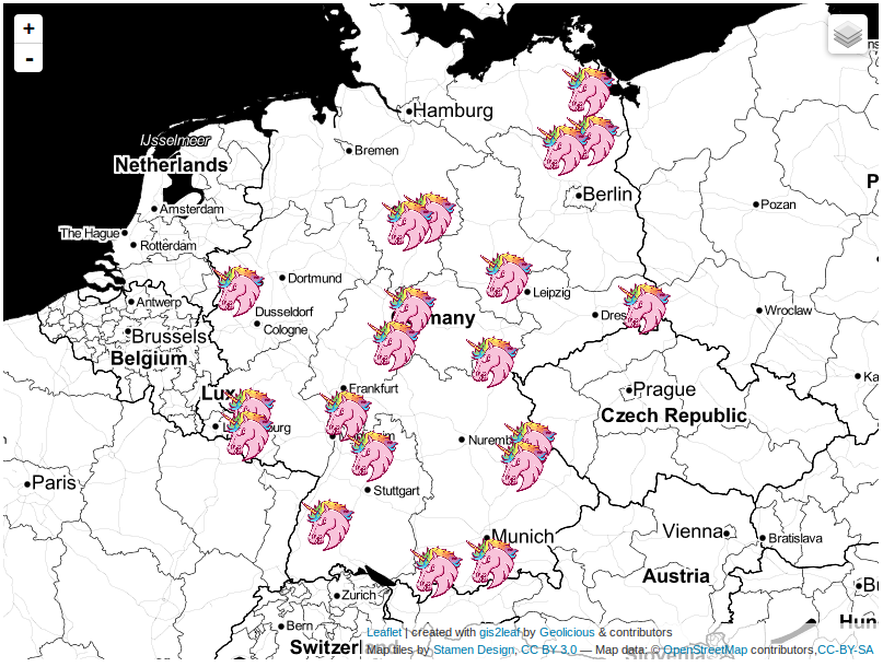
The last post about our famous qgis2leaf plugin showed a glimpse of what it is capable of: exporting all your features from a QGIS project to a working leaflet based webmap. Sounds great, huh? Well it is!
export your qgis project to a webmap with qgis2leaf
It was just a small idea but I haven’t slept much since it came to my mind to build a plugin fo QGIS. It should create a basic webmap from your current layers without coding and with popup functionality and changeable basemaps using leaflet. Meet my new daughter: qgis2leaf!
The PCA plugin for QGIS
When it comes to data we are more or less lost nowadays. We can acquire more and more data for a current area and find answers on our questions. The Principal Component Analysis (PCA) can help you to enhance your understanding your data and to reveal underlying information that influences your data fundamentally. Since some days there is a special plugin for QGIS available that enables you to determine principal components from your data.
QGIS Plugins: OTB- not a real plugin but great for spatial analysis
As I came across this short post about image classification in QGIS I was surprised to see this first line: “For this, Unsupervised KMeans image classification module from OTB has been used.” I haven’t heard about OTB and its usage in QGIS so I was curious.