ILWIS GIS – Tutorial I [Introduction]
Today I’ll start with a new series of tutorials for an open Source GIS called “ILWIS GIS“. ILWIS is the short term for “Integrated Land and Water Information System”…
Today I’ll start with a new series of tutorials for an open Source GIS called “ILWIS GIS“. ILWIS is the short term for “Integrated Land and Water Information System”…
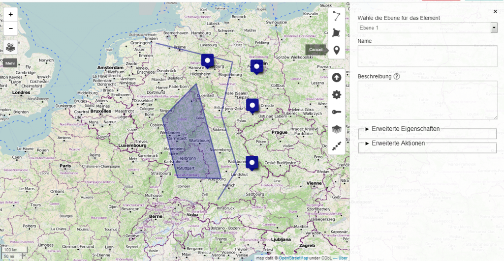
Creating maps is the most appropriate way to present spatial data. In the last years several methods appeared to generate such webmaps. Based on a tile-layer, wich contains…
Sometimes you need to replace bits and bytes with dirt and soils, and today’s news are really pushing me to leave the desk and to go for a…
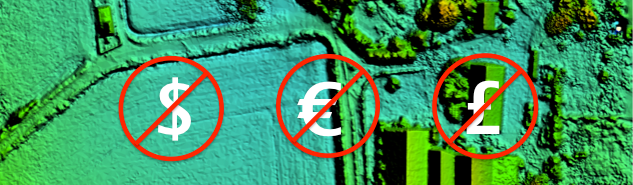
In some countries, such as the USA and Spain, there is a very nice law that makes life easy for geoscientists. This law guarantees free access to a…
I’m always looking for good sources of free data, so I thought I would post a few here in case they were useful to others. The sources listed…
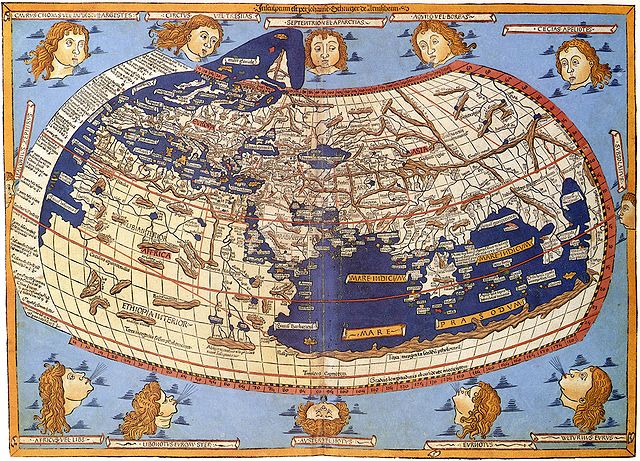
Map Projections The question of map projections and how to reproject data is one that comes up often in discussions with both experienced colleagues and those new to…
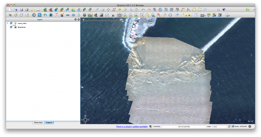
Click for previous article in this series about RasterCalc How often have you been working on a project in QGIS and wanted some nice background imagery, perhaps for…
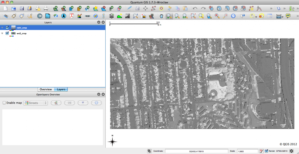
RasterCalc QGIS Plug-in QGIS is an open-source geographic information system that is familiar to many geospatial professionals. I find more and more that I’m able to use QGIS…