qgis2web in the wild
There are plenty of webmapping services out there. The best known might be mapbox, carto, arcgis online, google maps. But what they all share: they do not come…
Data Lakes has become a popular term in the Big Data community. It’s used to refer to a large storage repository and processing engine. However there is now…
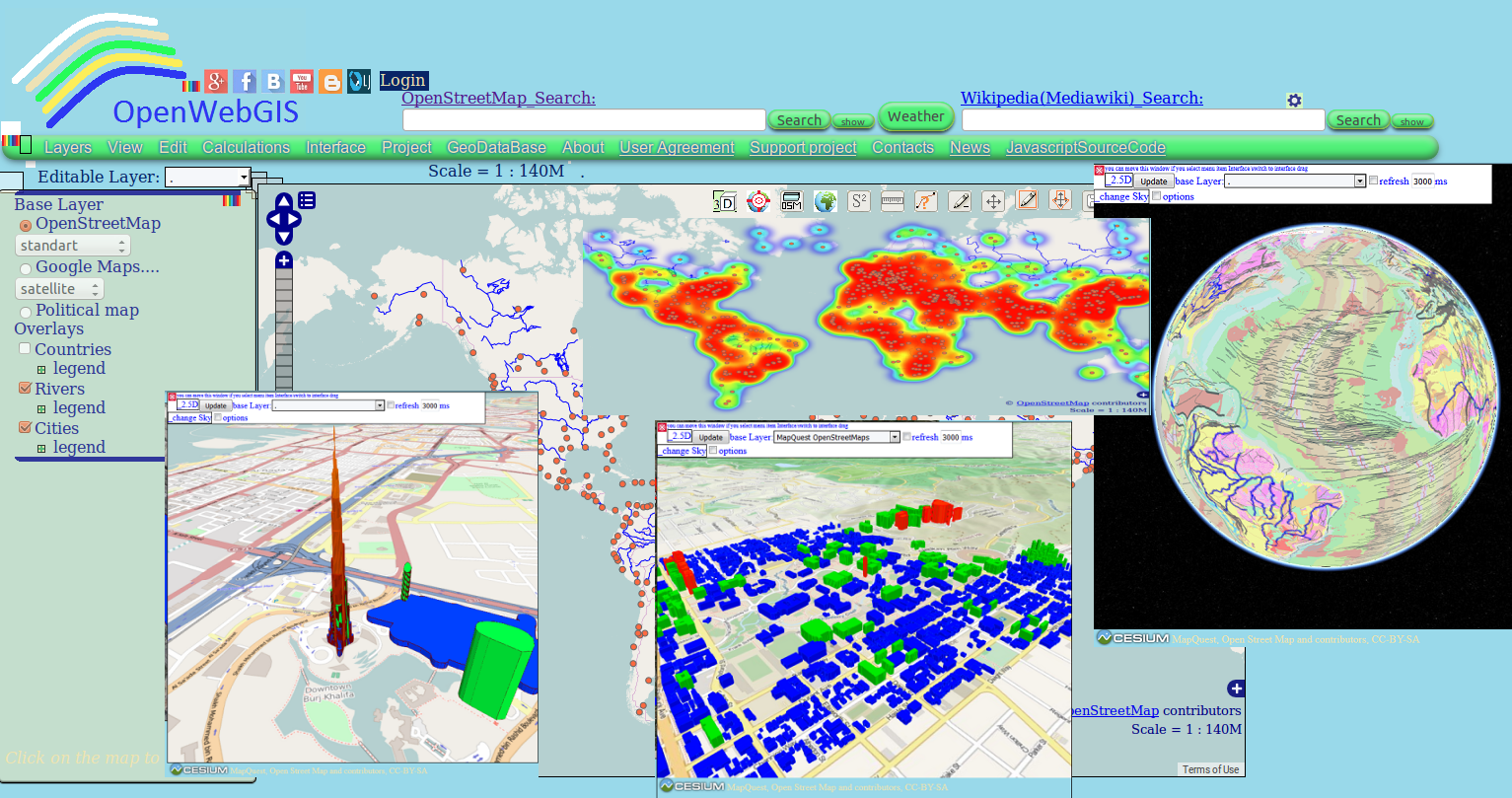
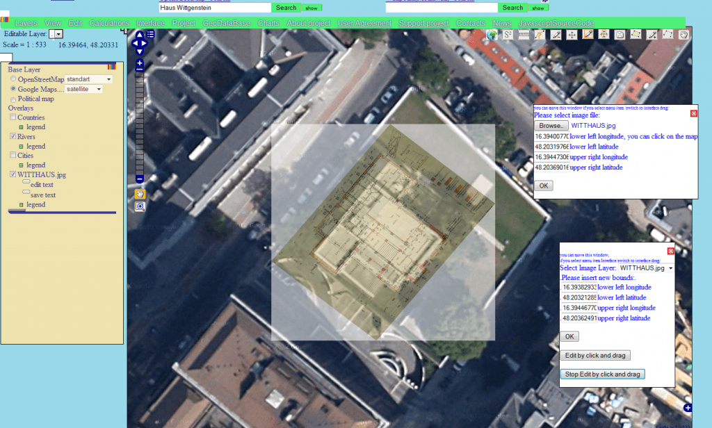
Perhaps you have already used in your work OpenWebGIS or just have seen it or read about it. Due to this system exists since 2014. But we will…
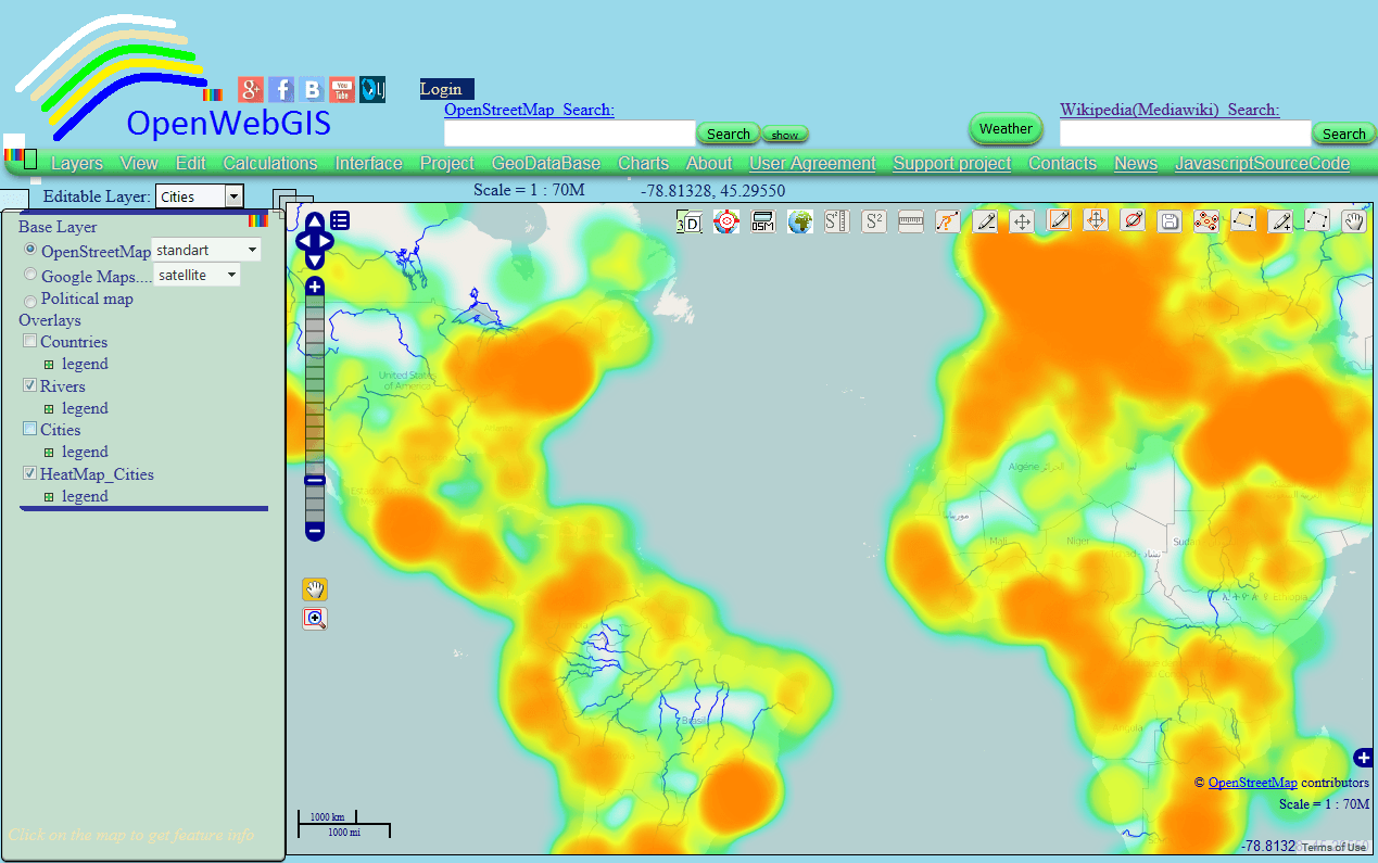
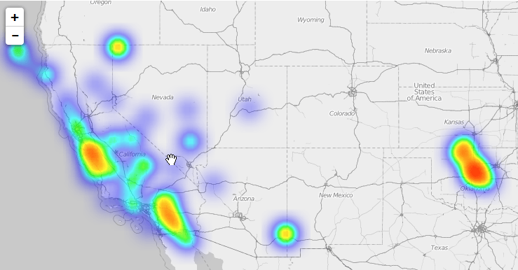
This article is a continuation of the article “Heatmap and Interpolation: it is easy in OpenWebGIS” about creation of Heatmap and Interpolation with the help of OpenWebGIS interface.…

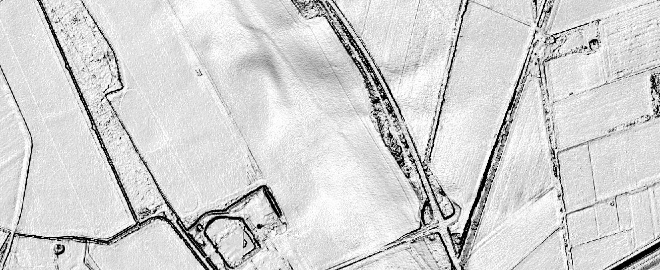
The Ordnance Survey is UK’s mapping agency and frequently releases free datasets. Their OpenData policy is quite progressive compared to Germany’s and they’ve recently published some fresh datasets…
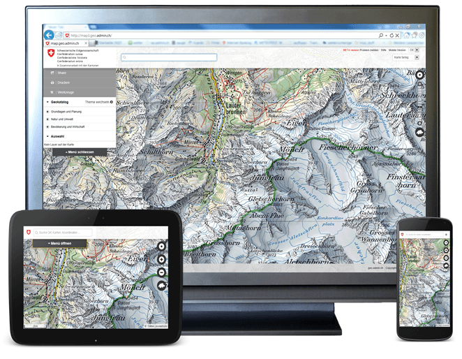
A priorized project of eGovernment Switzerland Usage and exchange of geodata is fostered by geo.admin.ch in a significant way. The Federal geoportal is operated by the Federal Office…
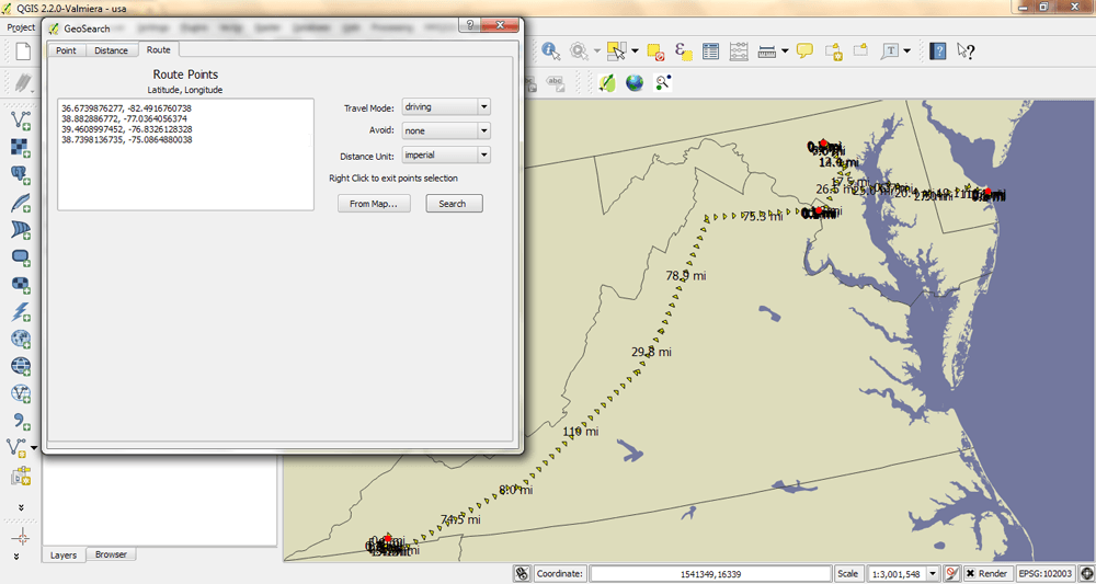
I have been using QGIS 2.2 for most of my GIS work for about 3 months now, so I have noticed that I keep on using some plugins…
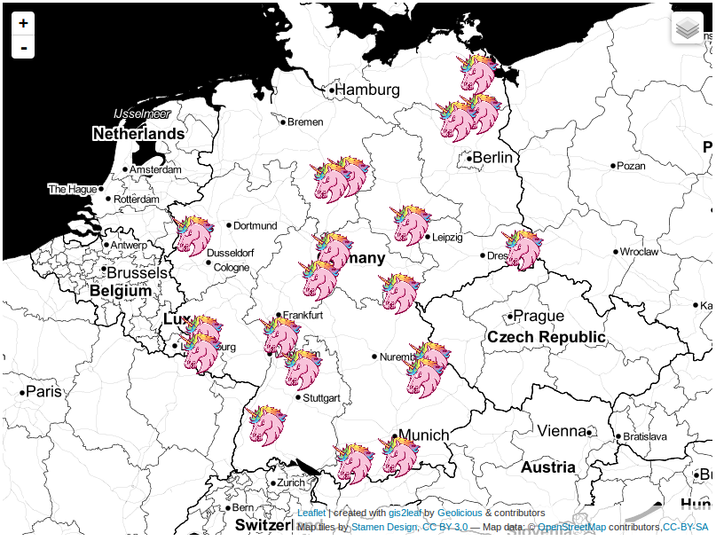
The last post about our famous qgis2leaf plugin showed a glimpse of what it is capable of: exporting all your features from a QGIS project to a working…
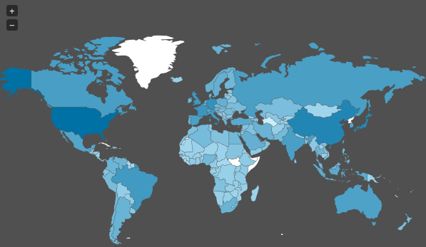
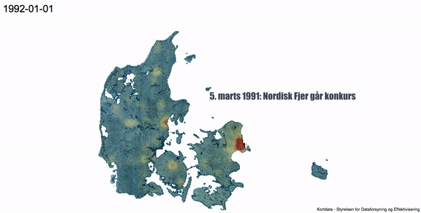
Today I stumbled upon a “map” on Spiegel Online ( an import news page in Germany ) which shows the spied countries of the NSA. As we already…