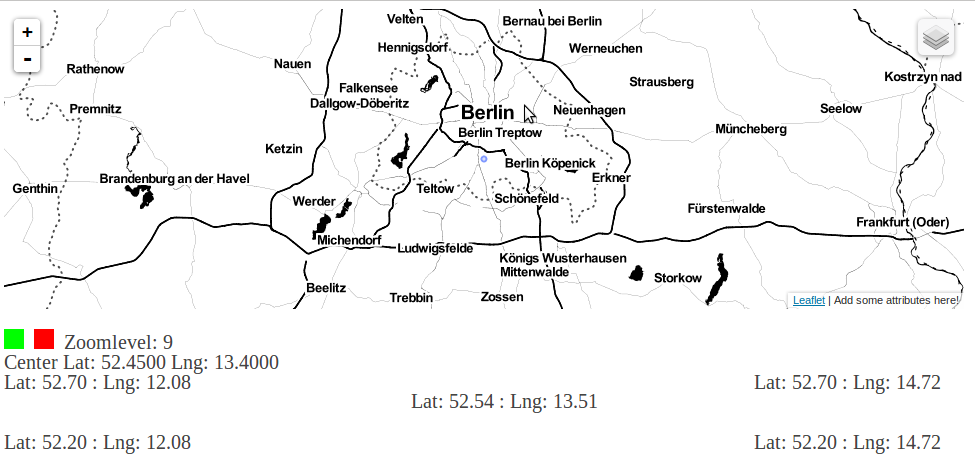
Create Bounding Boxes without Desktop GIS
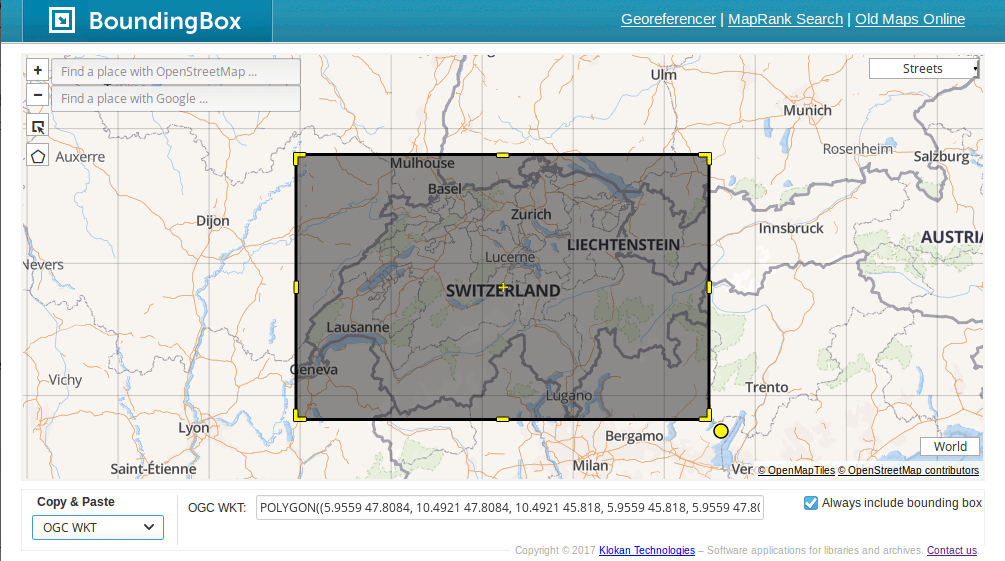
Bounding boxes are crucial for a lot of geospatial projects: wether you need to limit the extent of your web mapping application or need to cut your research…
Bounding boxes are crucial for a lot of geospatial projects: wether you need to limit the extent of your web mapping application or need to cut your research…
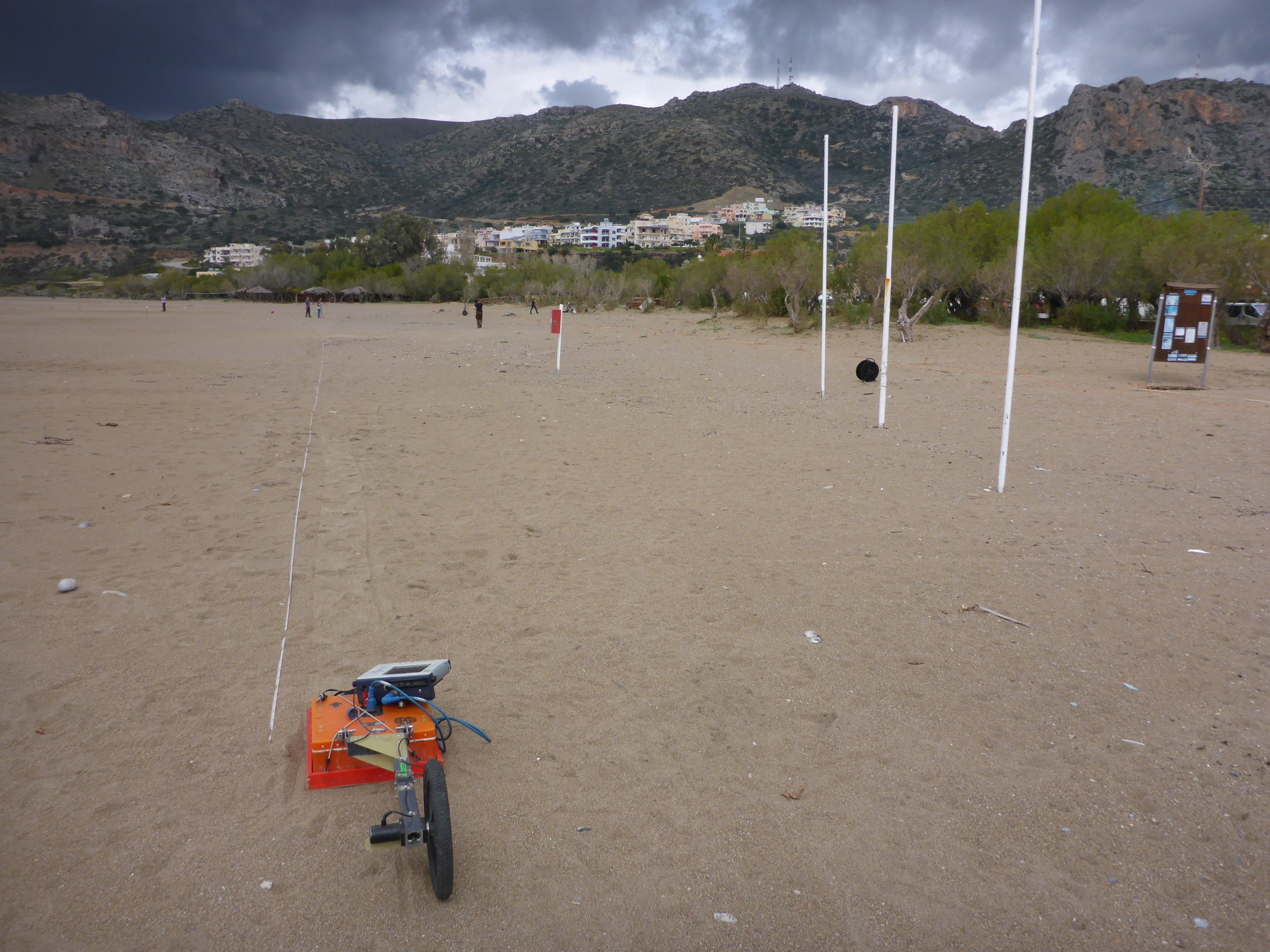
When you’re in the field you want to collect as much data as possible using all the expensive and heavy equipment you brought with. For instance, geophysical profiling…
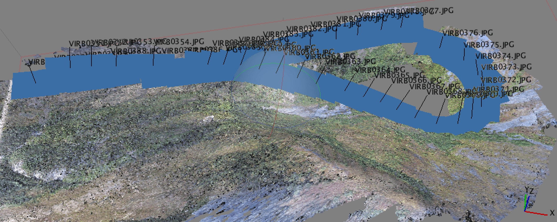
Why Geotagging? In a recent post, I discussed the new drone that I got for the holidays and a bit about how I was using it for…
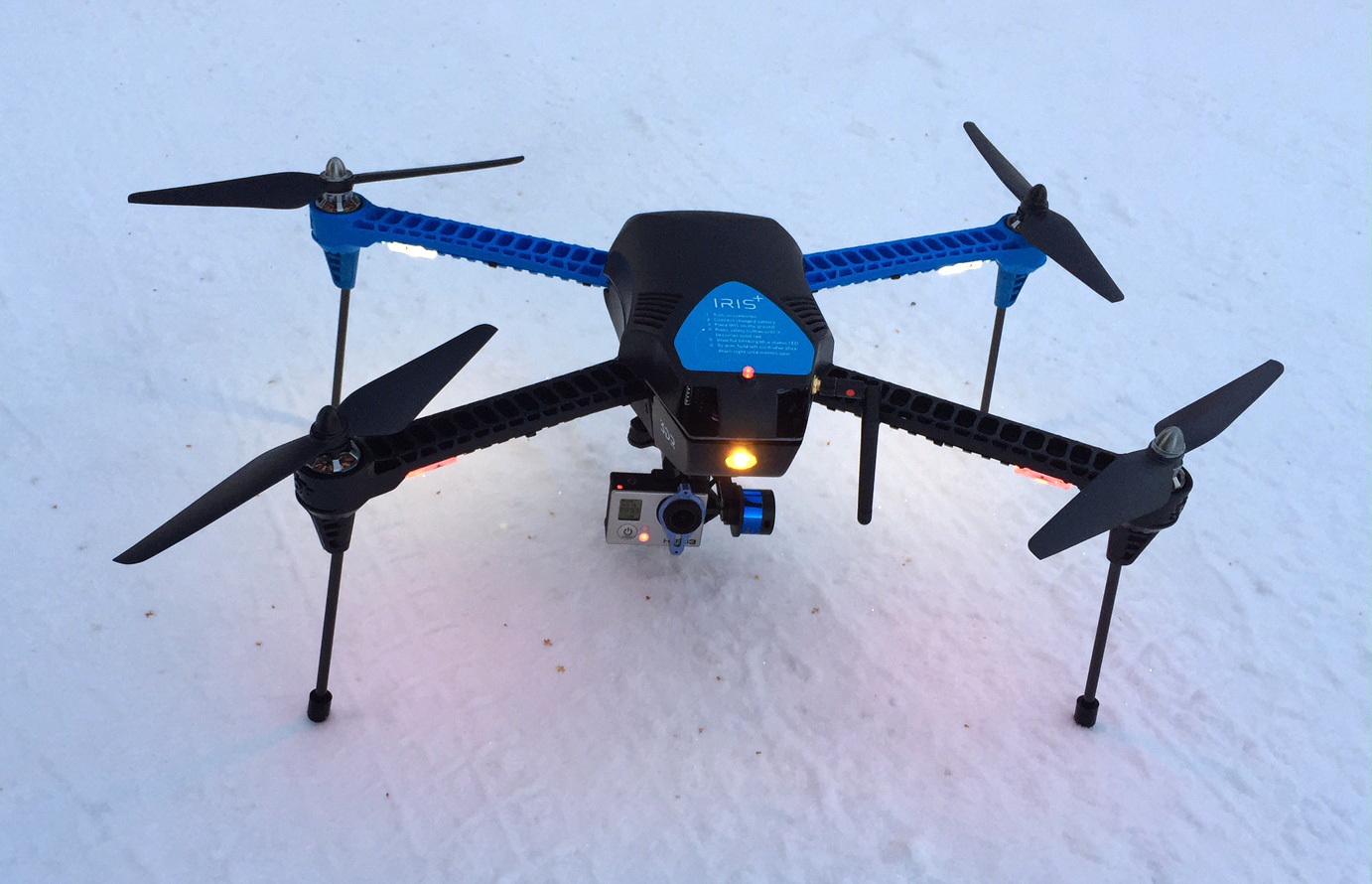
So, by now some of you have opened a holiday gift and it turned out to be a drone. I was fortunate enough this year to get a 3DR IRIS+…
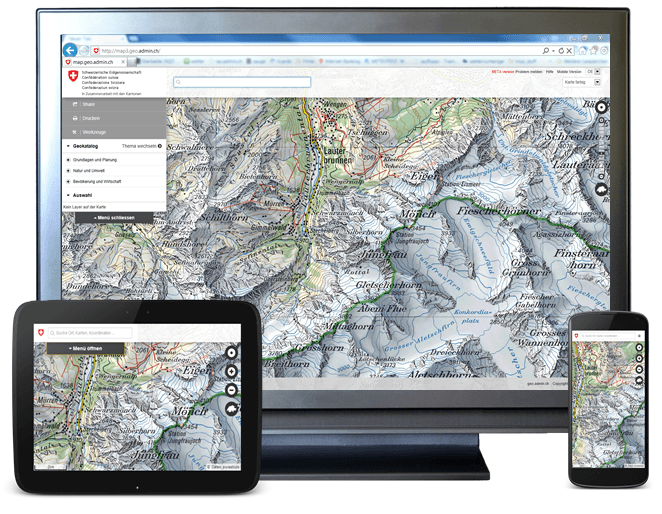
A priorized project of eGovernment Switzerland Usage and exchange of geodata is fostered by geo.admin.ch in a significant way. The Federal geoportal is operated by the Federal Office…
Digital’s digest – This new post series gives you a weekly overview about new exciting geo-, project- and gis-links. We should write about a special link? Please submit…
This is the first digital-geography.com tutorial for setting up an initial webmap with D3.js-JavaScript library by Mike Bostock.
I have often wondered what could be the purpose of these mapping 3D models more and more accurate for major cities of the world (eg, Monaco, Geneva or Dubai).…
Everyone knows the island of Rapa Nui (the “big”) also named Easter Island, but very few know the island of Rapa Iti (the “small”). This island worthy of inclusion in…
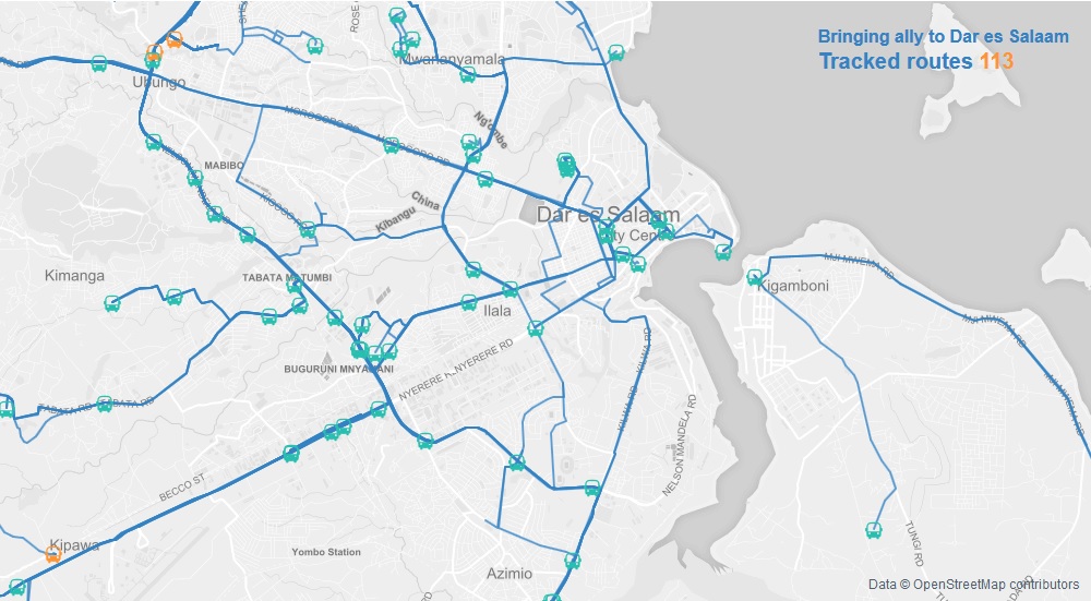
Within this, 2nd basic D3 tutorial, I will show you how to combine D3 with Leaflet whereby each library can demonstrate its vantages! These will be the main…