
Short announcement: CartoDB has some suprises
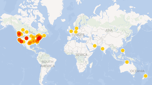
Dear fellows, the blog post from CartoDB was published two days ago but it is important for every GIS/webmapping person to know: Map views are not limited anymore…

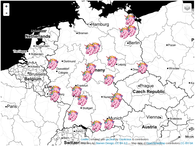
The last post about our famous qgis2leaf plugin showed a glimpse of what it is capable of: exporting all your features from a QGIS project to a working…
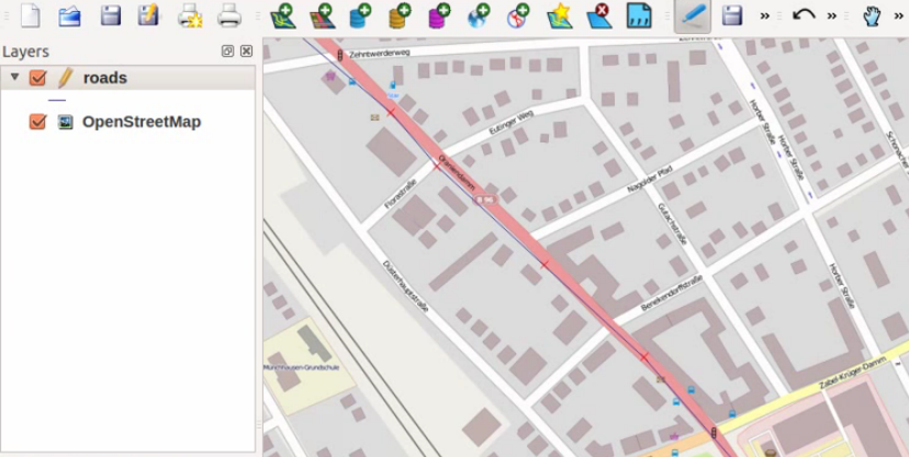
It was just a small idea but I haven’t slept much since it came to my mind to build a plugin fo QGIS. It should create a basic…
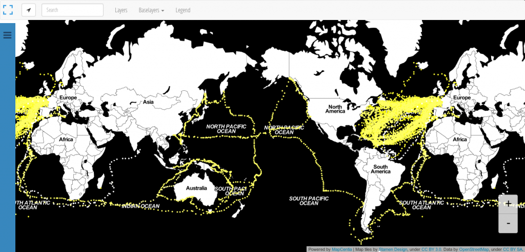
We all know: Black is beautiful. So is this map from Andrew Zolnai. But besides the stunning Stamen toner background map he also shows the significant amount of 260.000…
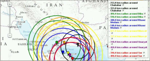
I looked for a program to draw circles of a pre-defined radius around some points on earth I had the coordinates from. A quick search returned the website…

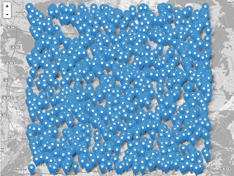
Dear folks, most of you probably know how to map things using software on your pc. Some of you might also know cartoDB. We like their service as…
A short time of my day I am watching twitter like others are zapping the TV. A short time ago, there was this list out of nowhere: “the…
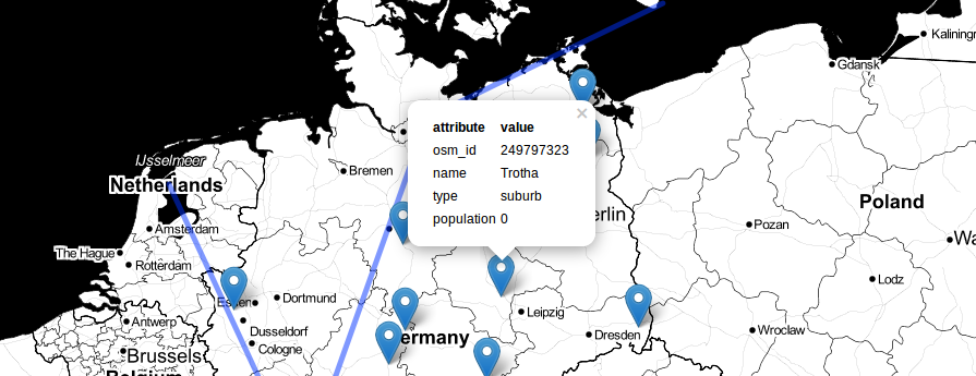
The leaflet API is very simple and tries to deliver best performance and style for commonly used features like tilelayers, points and lines and markers in general. So…
In our last session we started with some topographic “pre”-map as we prepared everything to create a printable map with QGIS which shows heights in a special area.…
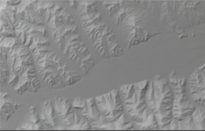
In this tutorial I would like to show you, how to create a topographic map and analyse topographical data using freely available SRTM data and QGIS including some…
The new JSON Format GeoJSON allows you to easily embed geographical features in your leaflet webmap. Additionally you can create it very easily in the open source GIS…