In the past I was working on different plugins to connect with multiple APIs and use their isochrone endpoints in QGIS. Let me summarize some of my findings…
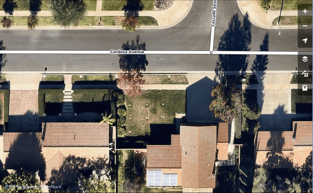
If you digitize features for OpenStreetMap you might have used Landsat data or the Bing basemap. Now we do have one other source for our armchair mapping approach:…
We are EGEAns and part of the European Geography Association for students and young Geographers (or in short EGEA), a network to create, explore and share different approaches…
Yesterday the new major release of worldwide leading GIS solution ArcGIS was released: 10.3. Most users upgraded already to the version 10.x and enjoyed Python support as well…
Most of GIS users today will probably work with ArcGIS. Since version 10 the implementation / integration of Python into the ArcGIS framework and ArcPy it’s important for…
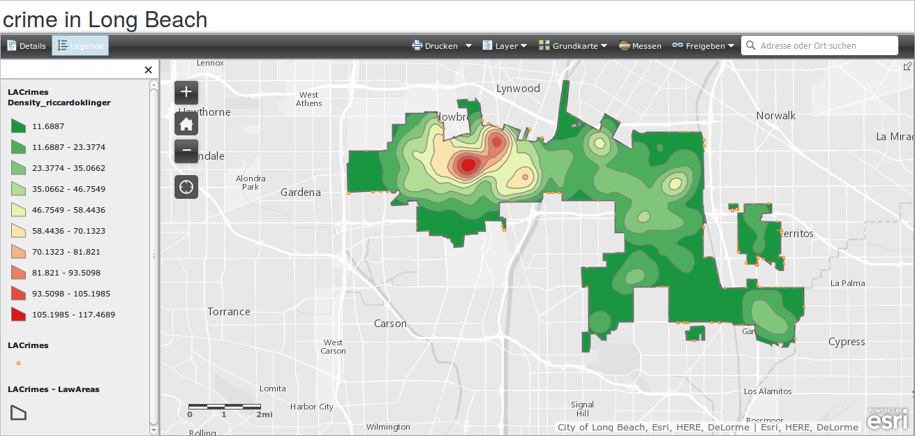
This week the MOOC will concentrate on patterns and hypothesis about patterns. Exercises will concentrate on “hotspots” and patterns in crime analysis. So the keyword in this lessons…
At this years 11th geoforum of central Germany ESRI showed some new developments in their ArcGIS online portfolio. Those were published 23rd of September. Let me please introduce…
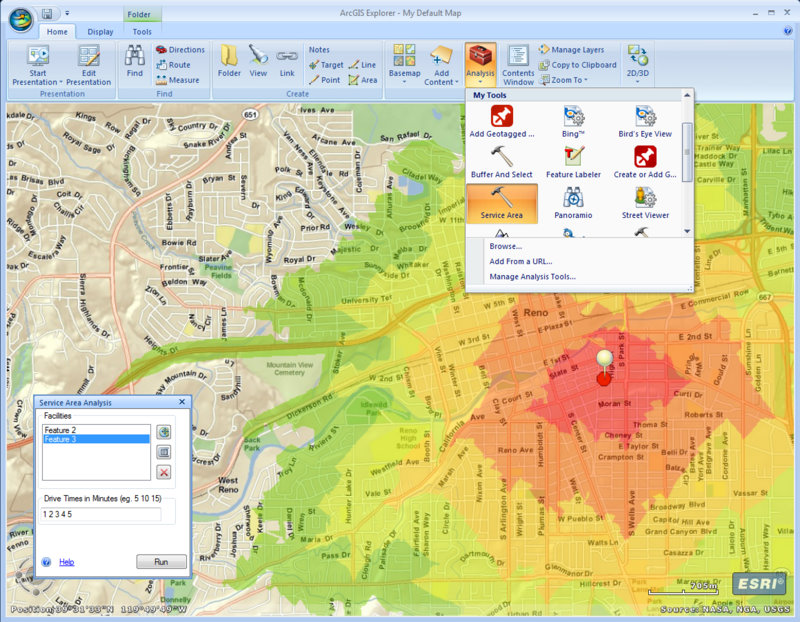
This week it is all about topology, proximity and combining logical and spatial queries at ESRI’s MOOC. Furthermore you will get to know path analysis and what are…