Awesome map style
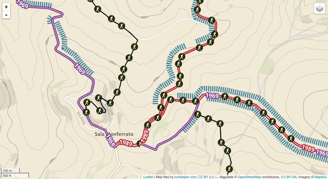
Are you back from holiday? Maybe you switched from Casale Monferrato, Piedmont and have used the map of Monferrato Landscapes. If you were lucky, you see a new…
Are you back from holiday? Maybe you switched from Casale Monferrato, Piedmont and have used the map of Monferrato Landscapes. If you were lucky, you see a new…
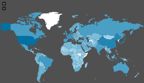
Today I stumbled upon a “map” on Spiegel Online ( an import news page in Germany ) which shows the spied countries of the NSA. As we already…
The time when I studied Geography and Mathematics is long ago. So I chose Cartography as one major part of my studies and learned to draw circles and…