Using OpenStreetMap on your GARMIN
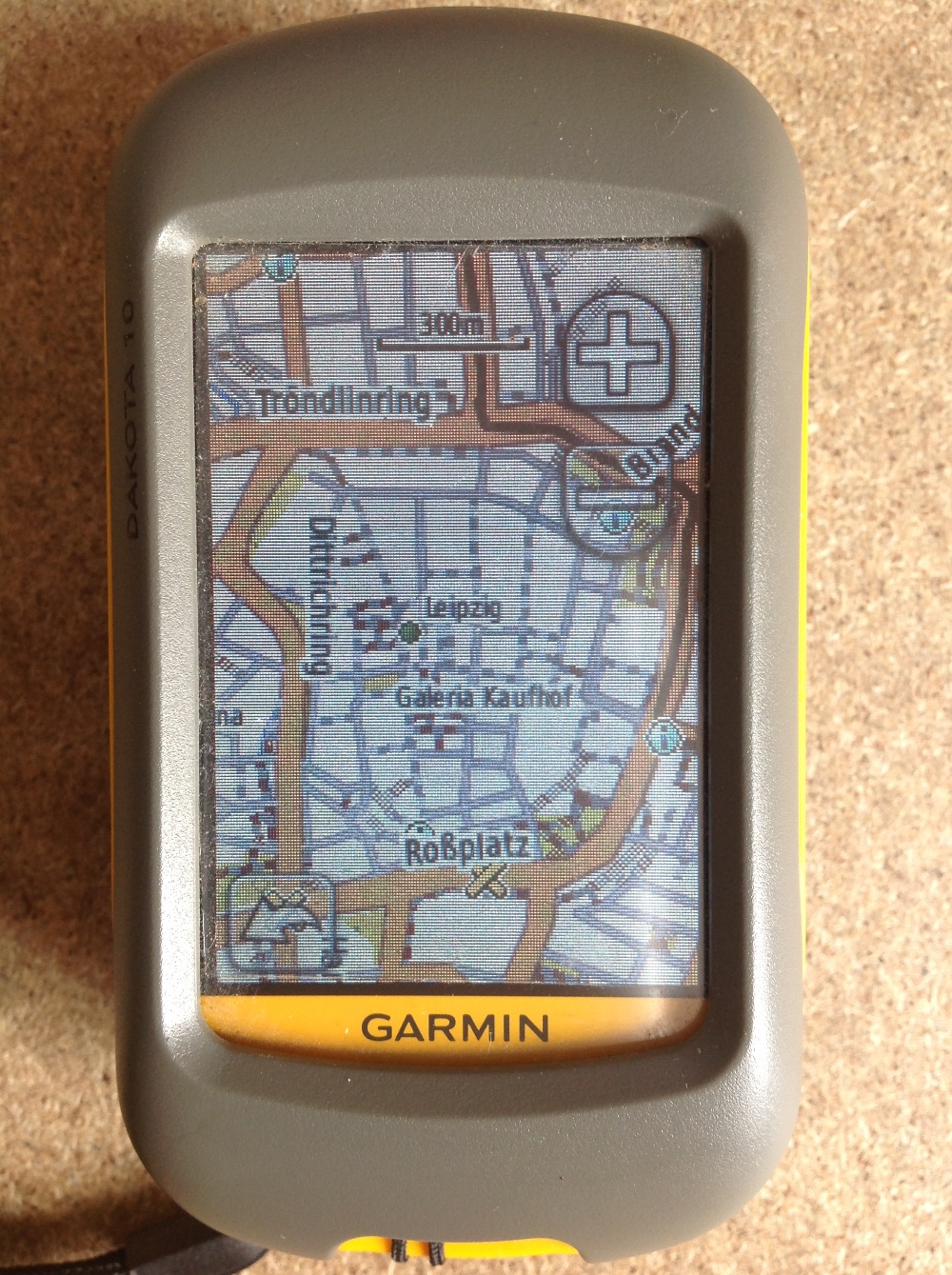
Since most people working with digital-data they are always interested in obtaining their own data using a Global Positioning System (GPS). Therefore I’ll give a short introduction for all…
Since most people working with digital-data they are always interested in obtaining their own data using a Global Positioning System (GPS). Therefore I’ll give a short introduction for all…
As Daniel already wrote: There is an awesome tool available online. With geojson.io you will be able to add, edit and remove spatial data used maybe in webmapping…