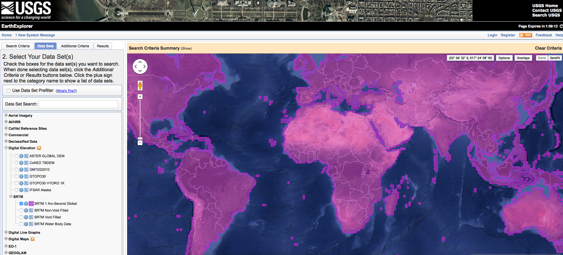
Short Announcement: SRTM 1 Data Worldwide The digital elevation dataset resulting from the SRT Mission in the year 2000 is probably the most widely used digital elevation dataset in the world. It was first… Post author By Riccardo