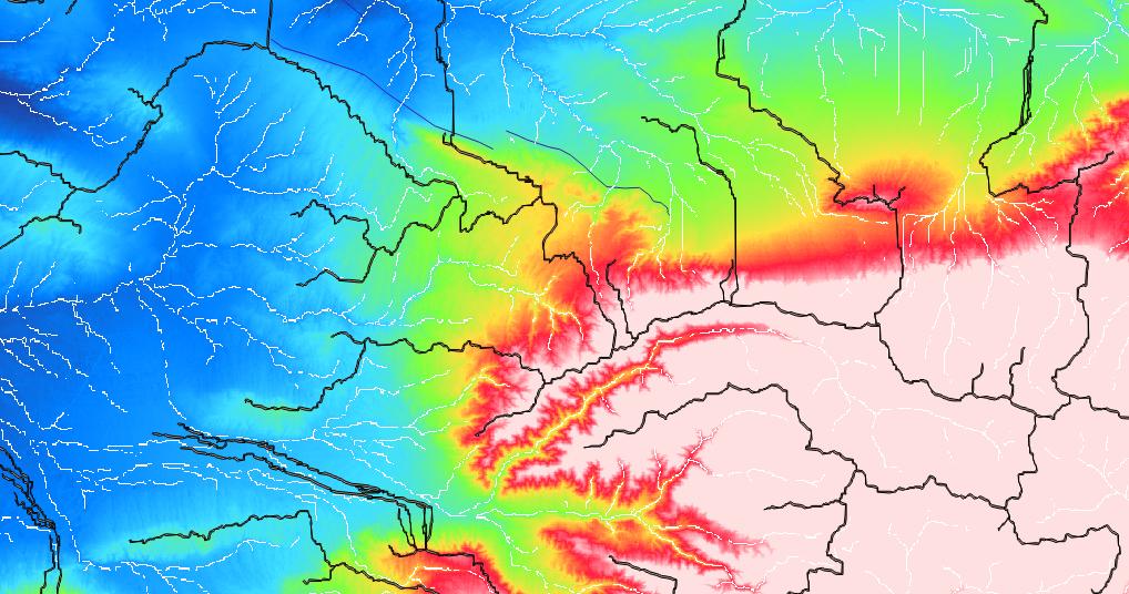
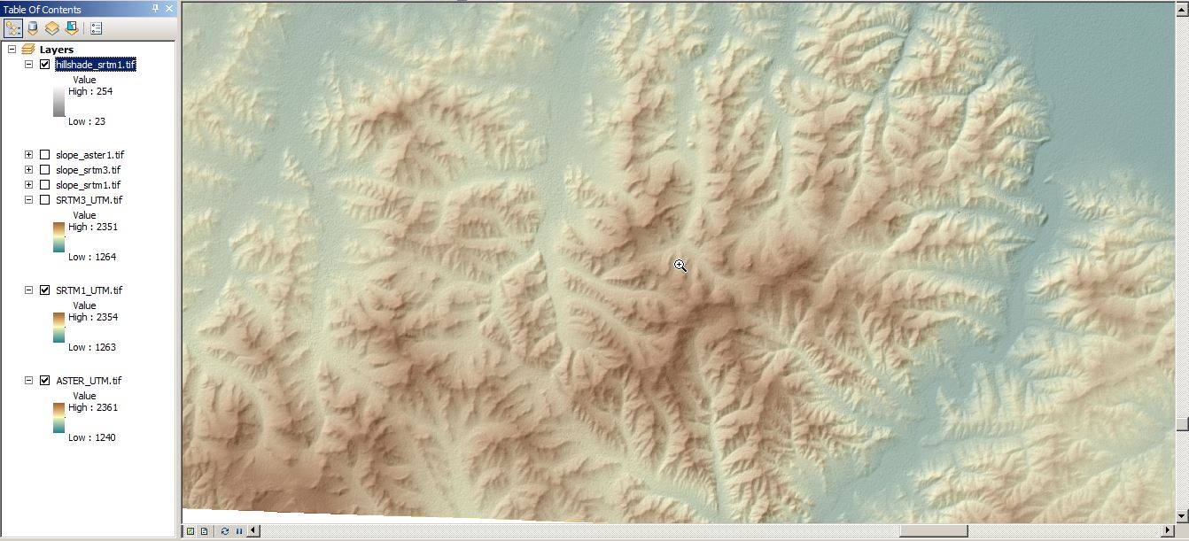
Many of us use digital elevation models (DEMs) for a whole bunch of different applications. There are some standard products which everyone should know, like SRTM1, SRTM3, ASTER, GLOBE or ETOPO1 for the land surface or GEBCO for bathymetry. However, they have a relatively low resolution and are therefore not suitable for all purposes. During the last few years there has been a huge progress in producing much better DEMs, especially local ones, using a wide range of techniques like LiDAR, photogrammetry, image correlation, structure-from-motion (SFM) etc. Some of these techniques make use of powerful, but expensive equipment (e.g., LiDAR), others are based on aerial or satellite imagery, and some can be produced with relatively low effort (e.g., SFM-DEMs from a compact camera photos). Here are some tools that are useful in earthquake research and, more specifically, for mapping surface deformation caused by active tectonics. Of course many of these techniques will be useful in other fields, too. Think of mining, landsliding, erosion, monitoring subsidence etc.
Sub-pixel correlation: Sebastien Leprince (CalTech) develops the COSI-Corr software which is free for academic use. His tool produces deformation maps based on pre- and post-event satellite imagery. Of course, the imagery is not free… Very powerful, and also useful for non-tectonic deformation such as mass movements, or other types of surface changes. http://www.tectonics.caltech.edu/slip_history/spot_coseis/index.html
Dimitri Lague (University of Rennes) has included some algorithms for processing point cloud data (e.g., from LiDAR data) in the CloudCompare software package: http://www.danielgm.net/cc/. Also have a look at pointclouds.org for open point cloud library (PCL) software.
Yann Klinger from IPGP works on Optical Image Correlation. MicMac is his free image correlation software project: http://logiciels.ign.fr/?-micmac,3-.
Not exactly free but very interesting: SPOT imagery is not expensive anymore for researchers. Check http://isis-cnes.fr/ to see if your research project entitles you to get the data much cheaper than usual, for about 1€/km². Be also aware that the DEMs from the TanDEM-X mission will be available soon – you need to submit a science proposal, though.
Structure-from-motion can be used to produce high-res DEMs from overlapping aerial imagery or even from pictures taken with a standard compact camera. Good for local DEMs or archaeological objects, also much used in paleontology. The most commonly used software AGIsoft is not free, but hey – producing the imagery is! Depending on your camera and the distance to your object, the DEM’s resolution can be in the cm-range. Works for example well with drones and helikites.
These techniques have recently been presented at the RAS Tectonics From Above discussion meeting in London.
What’s your favourite way to create good DEMs? We’re keen to know!


For DEM usage, there is a detailed list available at http://gis4geomorphology.com/great-extensions/ .
Eventhough, LiDAR is my favourite method for high resolution DEMs but for image based measurements pix4d.com is worth a try.