OSM Tools Plugin
The plugin can be installed as a normal plugin via the plugin manager: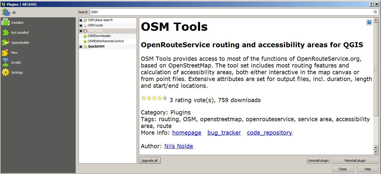
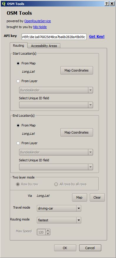
- 500 free requests per day in total
- 40 requests per minute
This tutorial will explain you how to create your own, interactive webmap in a fast and easy way! Such webmaps are used zo visualize e.g. adresses on digital maps. I’m using QGis 2.4 + Qgis Plugin Qgis2Leaf, google spreadsheet and a macro, wich I’ll tell you later about.
It was just a small idea but I haven’t slept much since it came to my mind to build a plugin fo QGIS. It should create a basic…
As I came across this short post about image classification in QGIS I was surprised to see this first line: “For this, Unsupervised KMeans image classification module from…

To map excel data onto a print- or webmap is one of the most needed and chosen data preparations. Companies and scientists are often highly interested in located…
Are there any plans to enable this to work in the UK. I saw this and added it to my copy of QGIS as it would be a fantastic addition, but when I tried it, it wouldn’t work
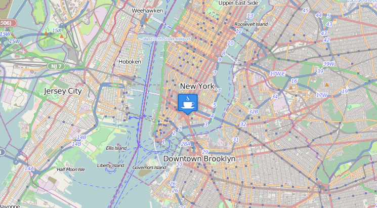
Works great in the UK:
Ill give it another try, I downloaded it a few weeks ago
Use osm tools! Not osmroute!
Thank you for intrucing this very useful tool. When trying the tab accessibility areas, I always get an error with the conduction in the python script. Does anyone has an idea how to solve it? Thanks in advance. 2017-05-22T10:07:28 1 Traceback (most recent call last): File “C:/Users/User/.qgis2/python/pluginsOSMtoolsosm_tools.py”, line 234, in run self.route_anal.route() File “C:/Users/User/.qgis2/python/pluginsOSMtoolsosm_tools_routing.py”, line 250, in route point_list = [float(x) for x in end_features[0].split(“,”)] ValueError: could not convert string to float: Long 2017-05-22T10:08:06 1 Traceback (most recent call last): File “C:/Users/User/.qgis2/python/pluginsOSMtoolsosm_tools.py”, line 231, in run self.access_anal.iterAnalysis() File “C:/Users/User/.qgis2/python/pluginsOSMtoolsosm_tools_access.py”, line 286, in iterAnalysis feat_list, isochrone_list = self.accRequest(feat_in.geometry()) TypeError: ‘NoneType’ object… Read more »
Hi Gisacka,
as Riccardo wrote, please post issues here:
https://github.com/nilsnolde/ORStools/issues
Please include the URL used (w/o key). You can get it via the Python console in QGIS, it´ll print the URL when making a request.
I have a problem for accessibility areas distances when I use the use layers function. There is a python error each time.
File “C:PROGRA~1QGIS2~1.16appsPython27libjsondecoder.py”, line 383, in raw_decode raise ValueError(“No JSON object could be decoded”) ValueError: No JSON object could be decoded
The time function works very well. What does this come from?