In a previous post I talked about some of the remote sensing themes during the first half of the American Geophysical Union Fall meeting. Here I want to talk about the latter part of the week at AGU and the headline remote sensing topic: vegetation time series.
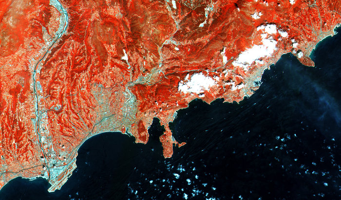
In the early 1970s Compton J. Tucker investigated the spectral reflectance of prarie grass, leading to a host of publications in the mid to late 1970s on spectral reflectance of vegetation, the use of multispectral satellite imagery for vegetation monitoring and, ultimately, the Normalized Difference Vegetation Index (NDVI). At AGU we saw that NDVI was alive and well; in fact NDVI was very prominent at AGU.
Tucker himself kicked off the discussion onWednesday afternoon presenting a non-stationary AVHRR NDVI time series from 1981-2012: the GIMMS 3G dataset. This is a development of the established GIMMS dataset with updates to improve cross calibration and to extend the dataset to 2012. GIMMS has been widely used to study climate change, vegetation dynamics and processes. Google Scholar searches using the term ‘GIMMS’ result in over 3000 hits. The new 3G dataset is higher resolution (4 km versus 8 km for GIMMS), adjusts for the lack of station keeping in NOAA satellites (hence ‘non-stationary’), and has a radiative transfer solution for the effects of large volcanic eruptions such as Pinatubo. Tucker and colleagues presented a comparison with MODIS NDVI showing good correlation between the two datasets.

The following day Pieter Beck and colleagues presented a comparison of NDVI datasets over high northern latitudes. This has been a hot topic since Ranga Myneni’s 1997 paper (PDF here). Beck and colleagues compared the GIMMS ‘G’, GIMMS ‘3G’, SPOT Vegetation, and MODIS BRDF corrected NDVI datasets. The data were aggregated to 24 km spatial resolution and temporally averaged to June-July-August NDVI values. GIMMS 3G NDVI was found to be systematically higher than the other datasets; SPOT VGT was lowest whilst the short SeaWiFS time series was shown to ‘out to lunch’ (my phrase not theirs). Interesting MODIS showed a decreasing NDVI trend! This kind of study can be very valuable, and many attempts have been made to compare the different datasets avaliable. Sadly, no discussion of the bandwidths, wavelengths and sensitivity of the sensors was forthcoming. The assumption that MODIS is the ‘baseline’ or most accurate dataset is common but rarely defended. This was the case here and I was left a little underwhelmed particularly having seen a good poster on sensor intercomparison by NASA’s Eric Vermote.
Also present were Kamel Didan’s group from Arizona. They presented a sensor independent dataset constructed from MODIS, SPOT VGT and AVHRR data. Spanning 1981- present the data include both NDVI and EVI2 (a development of the MODIS Enhanced vegetation Index that does not require a blue band). The resolution of the dataset is 5,6 km with temporal resolutions are available from daily to monthly depending on the parameters used. It will be interesting to compare this dataset with other; the authors estimate a 5-10% accuracy.
Clearly there is a lot of data out there to be exploited! New exciting opportunities exist for identifying climate and environmental change using long term data records. Obviously each dataset must have errors and biases and more intercomparisons are needed. But AGU showed the momentum in global vegetation monitoring right now and the huge potential for remote sensing to deliver global datasets that are relevant and accessible!

I was also trying to use MODIS for vegetation pattern changes in central Mongolia but I was cowed by the huge amount of data…
HI,
does anyone know if the new GIMMS3G data set with the enhanced resolution will be made available to the public? Or will it rather be a “special issue” data set as the old 3G was?
Greg
could this link provide some information on this: http://cliveg.bu.edu/modismisr/lai3g-fpar3g.html
Thanks, Riccardo, but I think this link refers to the previous GIMMS3g data set.
Greg,
the GIMMS 3G is not yet publically available. My understanding is that it may not become publically available for some time. I believe the GIMMS people are trying to get support from NASA for hosting and publishing as their work is currently unsupported. As I am sure you are aware GIMMS data are widely used and UMD need to find support to continue providing GIMMS datasets to the public. You could contact UMD for more information. Earlier versions are available on the GIMMS site as are products from vip.arizona.edu.
Regards,
Ian
Thanks, Ian, for your reply and your suggestions.
Best,
Greg
[…] In a previous post I talked about some of the remote sensing themes during the first half of the American Geophysical Union Fall meeting. […]
[…] In a previous post I talked about some of the remote sensing themes during the first half of the American Geophysical Union Fall meeting. … […]