Peakfinder.org is a fascinating website. It’s not new, but I just came across it few days ago by a recommendation of @callanbentley. It appears very simple, very clever and very beautiful. The site allows you to find peaks (mountains and hills) in your surroundings or wherever you want. Basically, it draws a simple line sketch of the horizon as you see it from your current position and names all the peaks in your sight. I could spend hours on this. The website’s layout is amazing. It’s calm, pure and perfectly organized. Some options include searching for peaks from a database and entering coordinates. Of course you can also simply scan for interesting areas using GoogleMaps.
The idea is great, and the technique behind the site (as I think it works) is quite simple. Basically, you need digital elevation data (they use SRTM) and the names of the peaks from a database (they use these). A line-of-sight tool gives you information about the terrain that is visible from any given position. This is a standard tool in GIS or similar programs like GlobalMapper. Then add a nice layout and here you go.
Peakfinder is also available as an app for Apple and Android. I will for sure have it with me in the field.
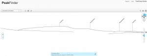
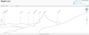
Here is a screenshot of what can be seen from our institute:
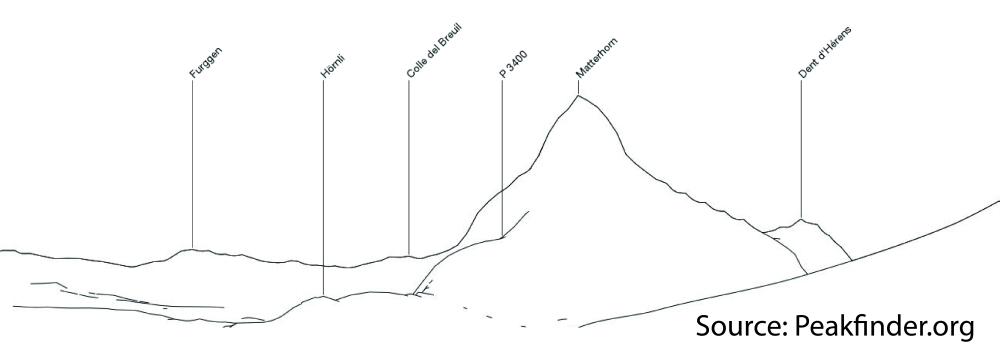
Of course, there a quite a few more spectacular views like this one from Zermatt:
What is your favourite peak?
[…] Mehr Infos: https://digital-geography.com%20.www378.your-server.de/diggeo/peakfinder-identify-hills-around/ […]