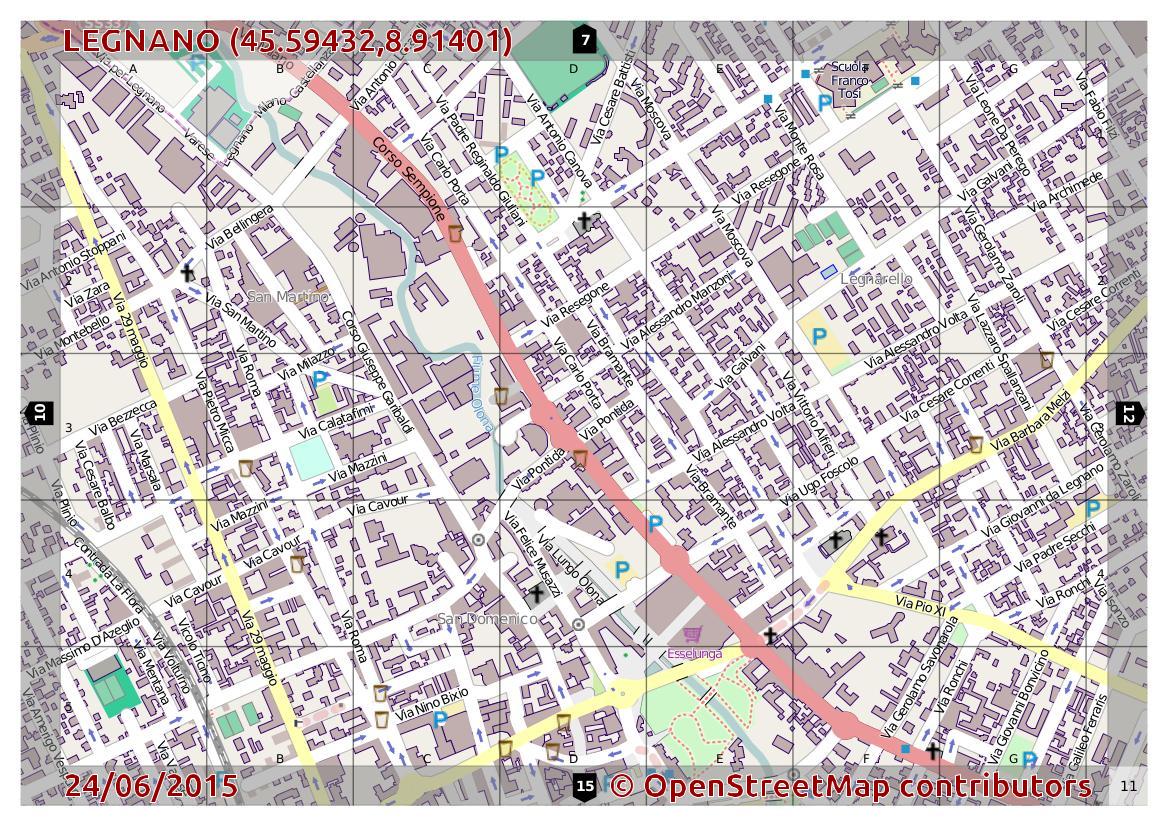
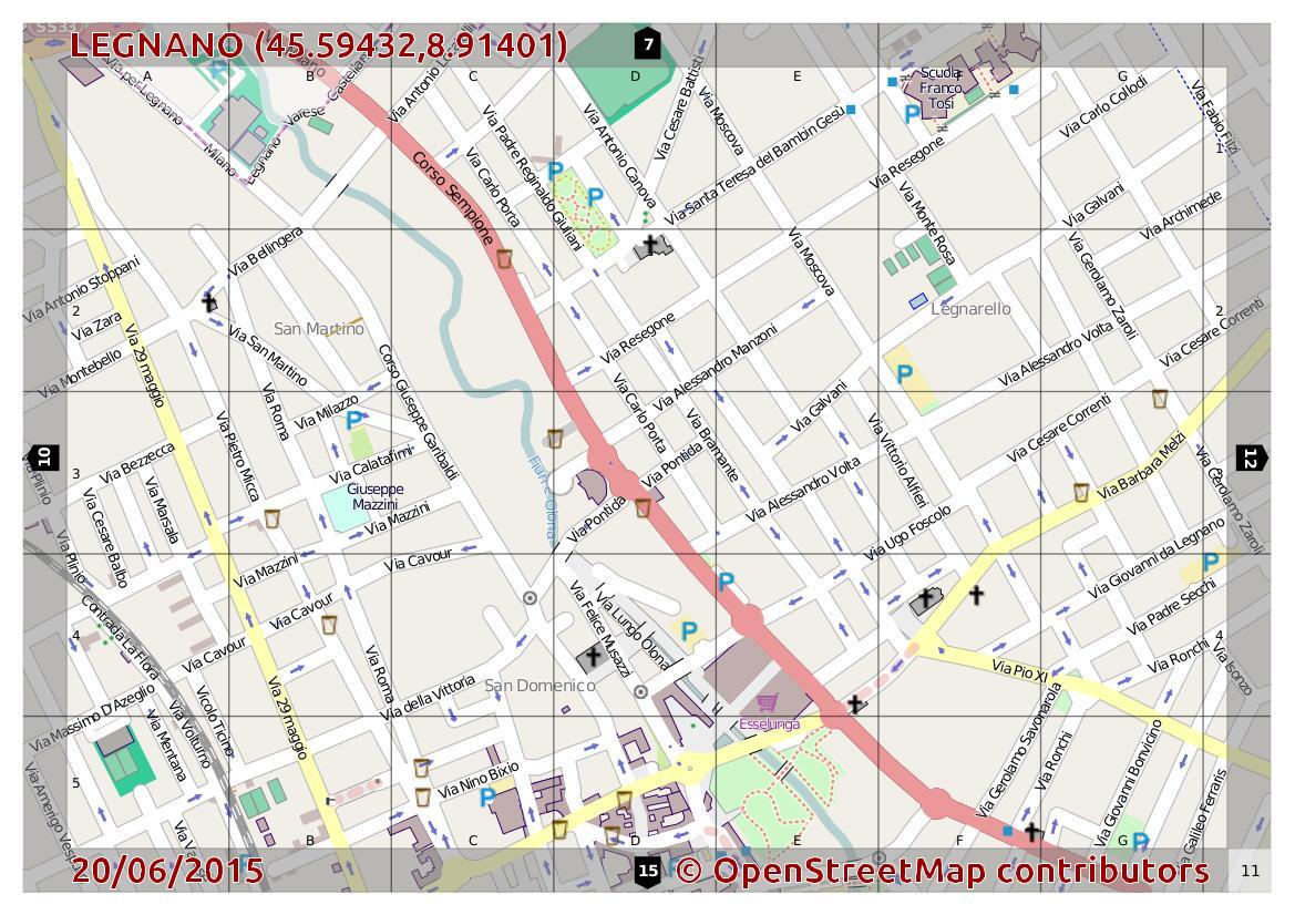
One day last month, I came back to OpenStreetMap, to see how the city of Legnano (city of 60k people – near Milan – Italy) was mapped. I knew I did not find much, but hoped it would have been mapped to a large extent. I immediately created an atlas with the online tool mapOSMatic and the result can be found here:
- Download PDF Atlas of Legnano (as it was)
- or go to the repository mapOSMatic
I always talk about OpenStreetMap on my blog and I invite and teach all kinds of mapping. When I realized the state it was in my city, I was kind of ashamed.
Mapping a whole city with OpenStreetMap
It is not the first time that I want to pursue a complete mapping of the city: There were several letters to the City, in which I asked the technical plan to be updated, in order to reproduce it in OpenStreetMap, with documentation that is required in these cases.
I was ready to map Legnano, but: what kind of base map shall I use? By default I can use Bing maps, but often it does not have maximum visibility and the error due to shadows and “high roofs” can lead to mistakes, not negligible, although all things considered, it is often better to have a complete cartography with errors of 2-3m, which do not have it at all (in terms of public viewing, and / or navigation, but also spatial planning).
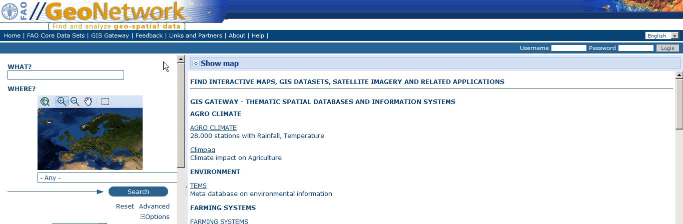
I began to search among the various WMS services if there was something interesting. I got the idea of trying the project Topographic Database – DBT, which was signed by 1244 municipalities of 1544 also Legnano and that was over in the process of renovation. I headed immediately to check state of progress of the project in the Topographic Database with a few rounds of links. I got the good news that Legnano has a new map!
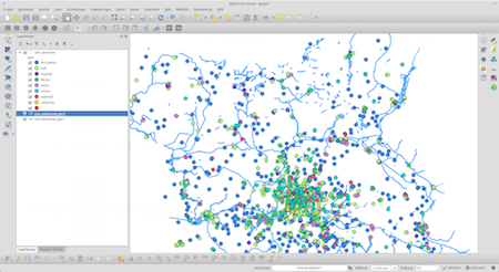
In the geoportal of the Lombardy Region I found the service WMS – Regional Technical Map 1: 10,000 with updates of the new Topographic Database. So I immediately tried to load it into JOSM, to see if I could start with my editor the massive way.
Trace a map like this is an operation in compliance with the guidance of OpenStreetMap: License IODL2.0 (Italian Open Data License v2.0).
Under this license You are free:
- reproduce, publicly distribute, lease, present and demonstrate in public, communicate to the public, making available to the public including, transmitted and re-transmitted in any way, perform, recite, represent, included in collective works and / or composite post, extract and re-utilize the information;
- create a derivative work and exercise at Work derived rights referred to in the preceding paragraph, for example, by combining it with other information (mashup).
Create a complete online map of Legnano
- trace 5-6000 (final calculation) buildings did not seem to work fast
- at times I said: “I end the quarter and then someone will go”
- techniques have been several anti-boredom: dial quarters, follow the road, do not look at small scale, first buildings, then industries, …
- Building consists of 4 or more nodes and discovered at the larger scale, it allowed me to do precision work faster, but the lack of overall vision, I cheated a bit
- overpass-turbo finally gave me the result of 5-6,000 buildings, but also the nodes that make up the buildings exceeds 40,000 (view query of overpass-turbo)
- I ruined the mouse button and invite those who want to take up this work, to find a comfortable position and to hold the elbow on the table, as well as a screen 20-24 “
- Total time: about 30h live! (video1 – video2 – video3)
😉
This is really tedious work! You want at least the JOSM area selector plugin: https://github.com/JOSM/JOSM-areaselector
Does the WMS maybe deliver SVG?
Nice, I’ll test it 😉
Tracer2 is another plugin worth checking out: http://wiki.openstreetmap.org/wiki/JOSM/Plugins/Tracer2
No addresses ? No building types ? No POIs ? I know this work has to be done, and it looks nice on a map, but for me the city is not mapped (yet).
MarcGemis’re right, but I wanted to start to raise awareness and especially the public administration. The goal was to create a nice map to share. Now I can start to differentiate the buildings and enter the POI. For addresses, here there are no data
There is always data when you go outside and do a survey 🙂 Good to hear you will further improve the map !
There is always … BIG … data when you go outside