digital’s digest – what’s this?
Every week I visit a lot of webpages related to geographic, mapping and other “Digital-Geography.com”-stuff. I’m afraid I cannot write full-size articles about these findings. This new post series, which is called “digtial’s digest” gives you a weekly overview about new exciting links and latest found pieces. Every week I would like to discuss the presented topics in the comment section and of course get also your “hottest” geo-related links and stuff. Let’s rock!
1. How to stitch map tiles to get a big map as one file?
This week I was looking for a tool or script, which merges tilesets and exports a big map as one big picture file. I discovered certain ways to do this with Python scripts, online services and some free desktop software. Because I was pinched for time, I used an old-fashioned but well working Windows program called Taho.exe. After installing you define a bounding box, choose your source map-style, some overlays and you are ready to export a map of a defined zoomlevel and pic size. The best thing about it is the possibility to adjust the config file and insert own tile-server-URLs to get a map out of own specific tilesets. Great tool!
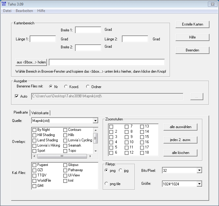
Get to the tool of Dimitri Junker – Taho.exe
2. The Python way of downloading OSM tiles
Beside Taho.exe I saw a lot of nice tools written in Python. Because my first approaches to adjust the script failed, I decided to take Taho.exe. The test run with David Baucum’s terminal scripit gives quiet stable results. Check his GitHub Repo to find out more.
osm_download
============

Usage: upper_lat upper_lon lower_lat lower_lon zoom output_directory
Example: ./osm_stitch.py 39.0775 -77.0275 38.984 -76.8656 13 ~/
3. Get big maps out of tiled data via browser application
The third way to get big maps out of tiled data is a web services called BigMap 2. The tool is really easy to use. Zoom to an area, click the submit button, resize your map and get a permalink, OZI, WLD-file or download it as a picture. It’s a pitty that you can’t define your own tile-server, but for a fast OSM map export it works fine!
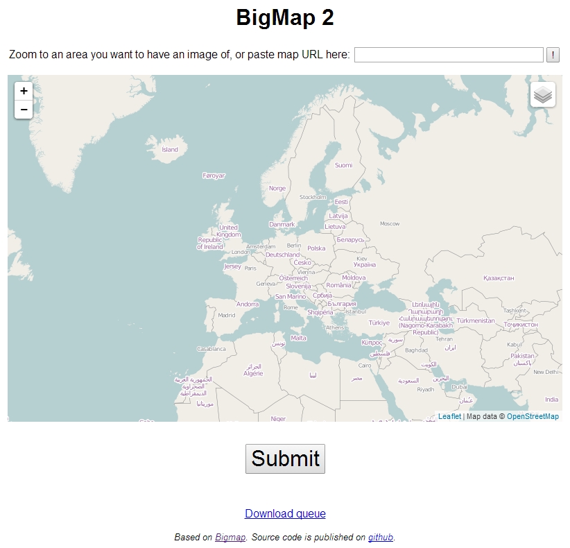
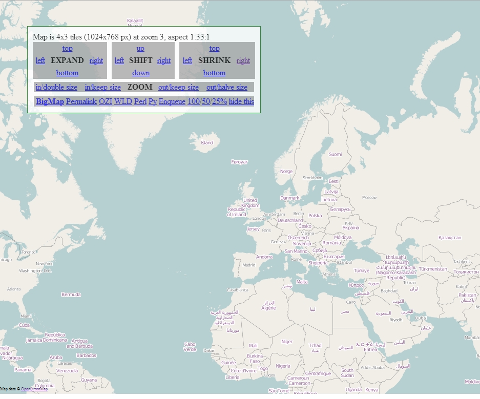
Here you get to the web service of Ilya Zverev: link or check out GitHub.
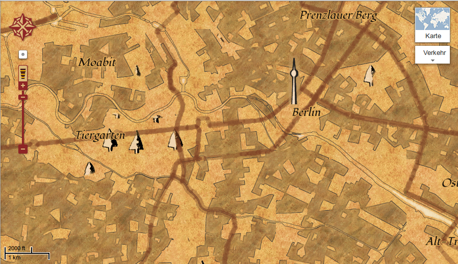
4. osm city map tool – MapOSMatic
Printing OSM tiles to one big map is easy. Creating a city plan with street register is not. Gilles Lamiral’s, a developer of the OpenSteetMap-Project, MapOSMatic webapp gives you an easy approach to get city maps with extended layout features. After choosing you location, you have to decide whether you want a full-page layout with the street index at the bottom, a full-page layout with the street index on the side, a full-page layout without street index or a multi-page layout. After that you set the mapstyle (default OSM, MapQuest or MapOSMatic stylesheet), a preferred paper size (up to A0) and the paper orientation. The final options are the map title and language. Finally you get a real good looking pdf map export.
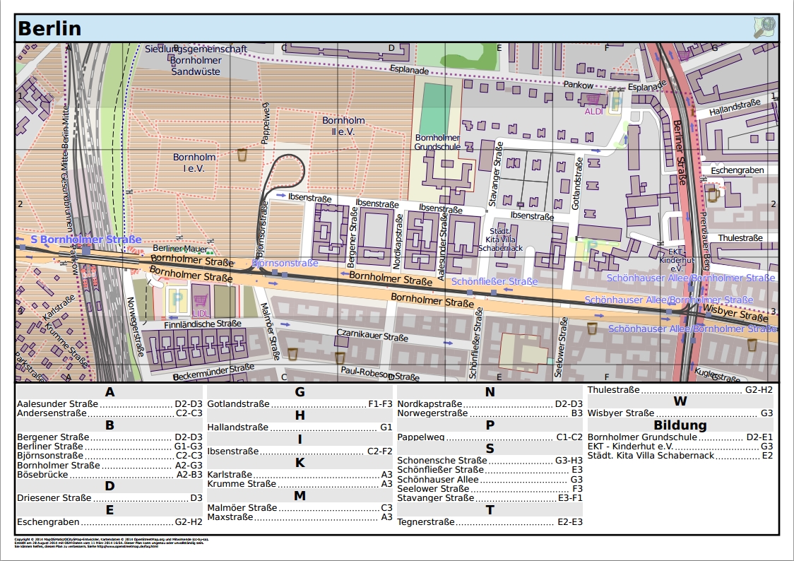
Here you get your own city plan out of maposmatic.org.
5. Images as Maps – togeo.py
Last but not least I found an easy way to cut normal pictures into tiles and get them shown with a modern map framework like Leaflet.js. Tom MacWright wrote a good overview article about this thematic in which he explains the usage of togeo.py.
If you want to know more about this script and its possibilities, follow this link.
Find following tips here:
Digital’s digest 6 to 10

Nice new section! 4. will be very useful for me! Thanks for showing!
Found another great website in the recent OSM Wochennotiz: http://sautter.com/map/ see a transparent OSM map on Google Earth etc.
Is this overlay map made for comparison between osm and gmaps?
I don’t know what’s the actual purpose of the map but I like comparisons like this.
it was me 😉