
ArcGIS Open Data
For a year, ESRI’s open data initiative is online. As I’ve heard about it for the first time I was just thinking: nice move to get people into…
Digital’s digest – This new post series gives you a weekly overview about new exciting geo-, project- and gis-links. We should write about a special link? Please submit…
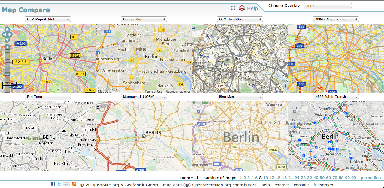
Driven of the high usability of webmaps for companies and projects, many background-styles are available online. The existing styles can be easily implemented in your own project-map. Depending…
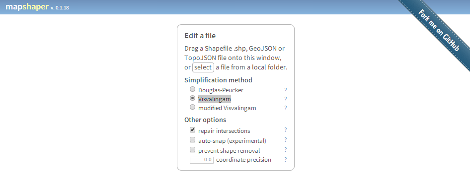
Mapshaper by mbloch is one of my favourite “swiss army knife”-tools if you need fast data reduction and topology first aid in polygon data handling. There a two…
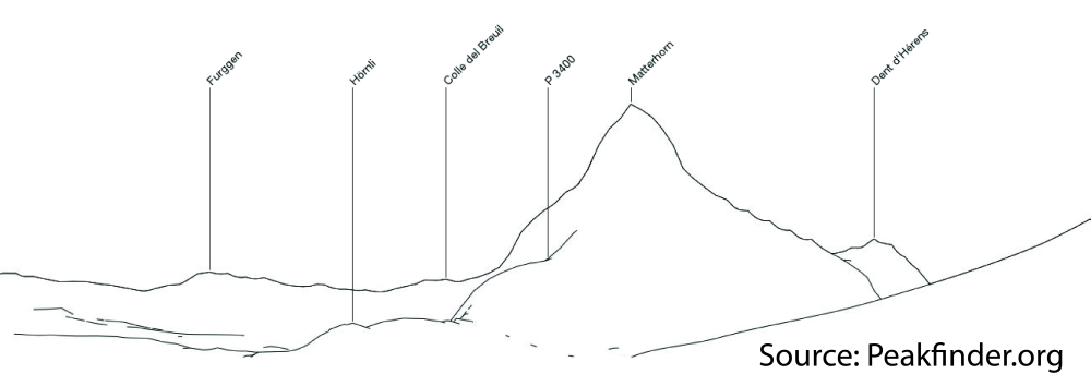
Peakfinder.org is a fascinating website. It’s not new, but I just came across it few days ago by a recommendation of @callanbentley. It appears very simple, very clever and…

“Big data is coming!” Everyday you can read this in current blogs and magazines. Geotagging is one of the special-interest issues of digital-geography and so I want to…
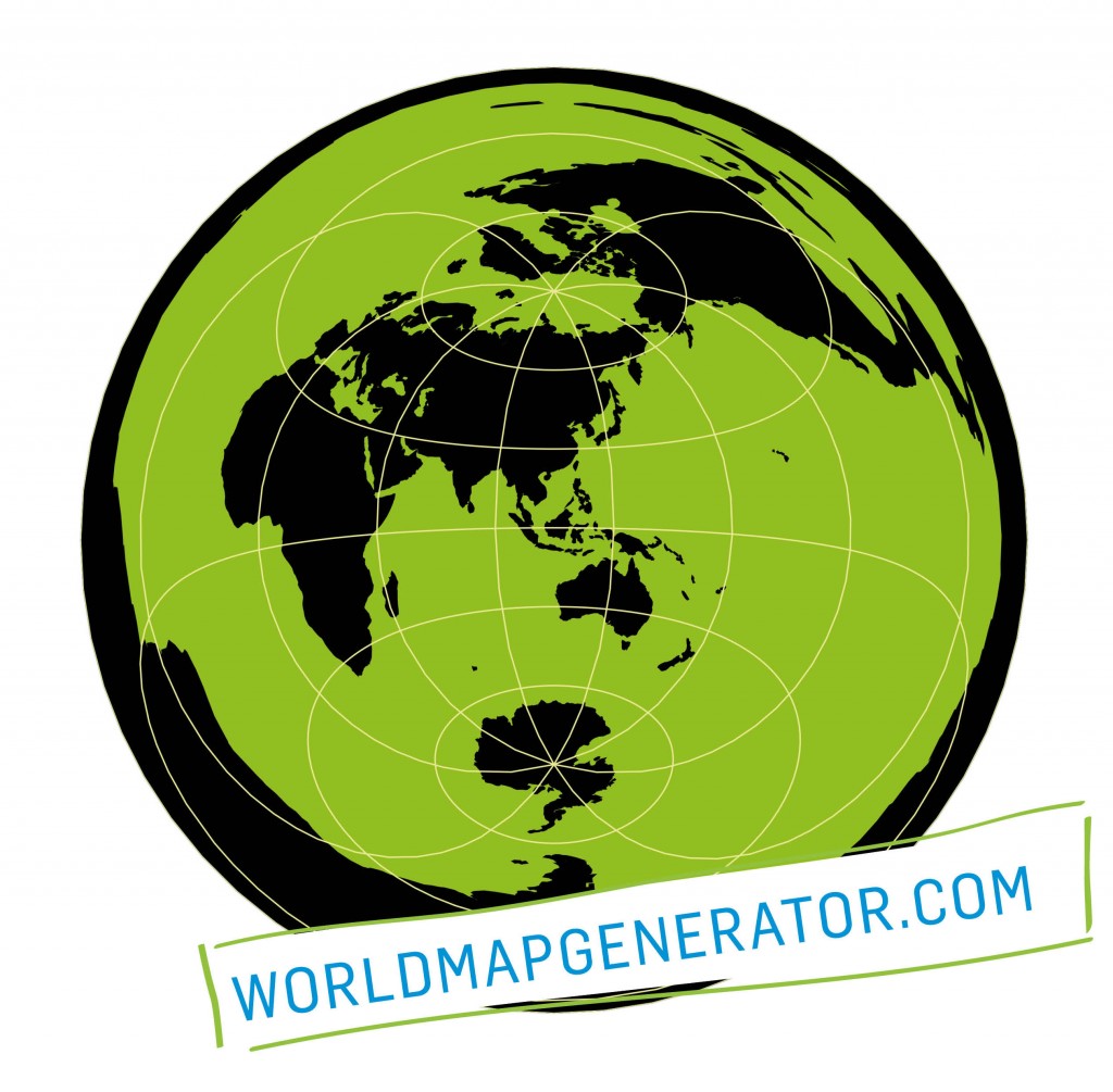
What has been a disc before, where seamen teetered on the brink of the abyss, you will now find two dimensional world maps, putting the observer in the…
I just found a nice web interface for converting Shapefiles to geoJSON, the preferred format of vector geodata on the web. And yes, you can also convert back…
As Daniel already wrote: There is an awesome tool available online. With geojson.io you will be able to add, edit and remove spatial data used maybe in webmapping…