How to start with “VANE language” API – MODIS example
If you are reading this post – you might know something about satellite imagery. This is a valuable source to power quite a lot of analytics and monitoring…
If you are reading this post – you might know something about satellite imagery. This is a valuable source to power quite a lot of analytics and monitoring…
Tiled map layers are an important part of the digital mapping stack, since Google and others introduced their slippy maps quite some time ago. There’s a huge ecosystem…
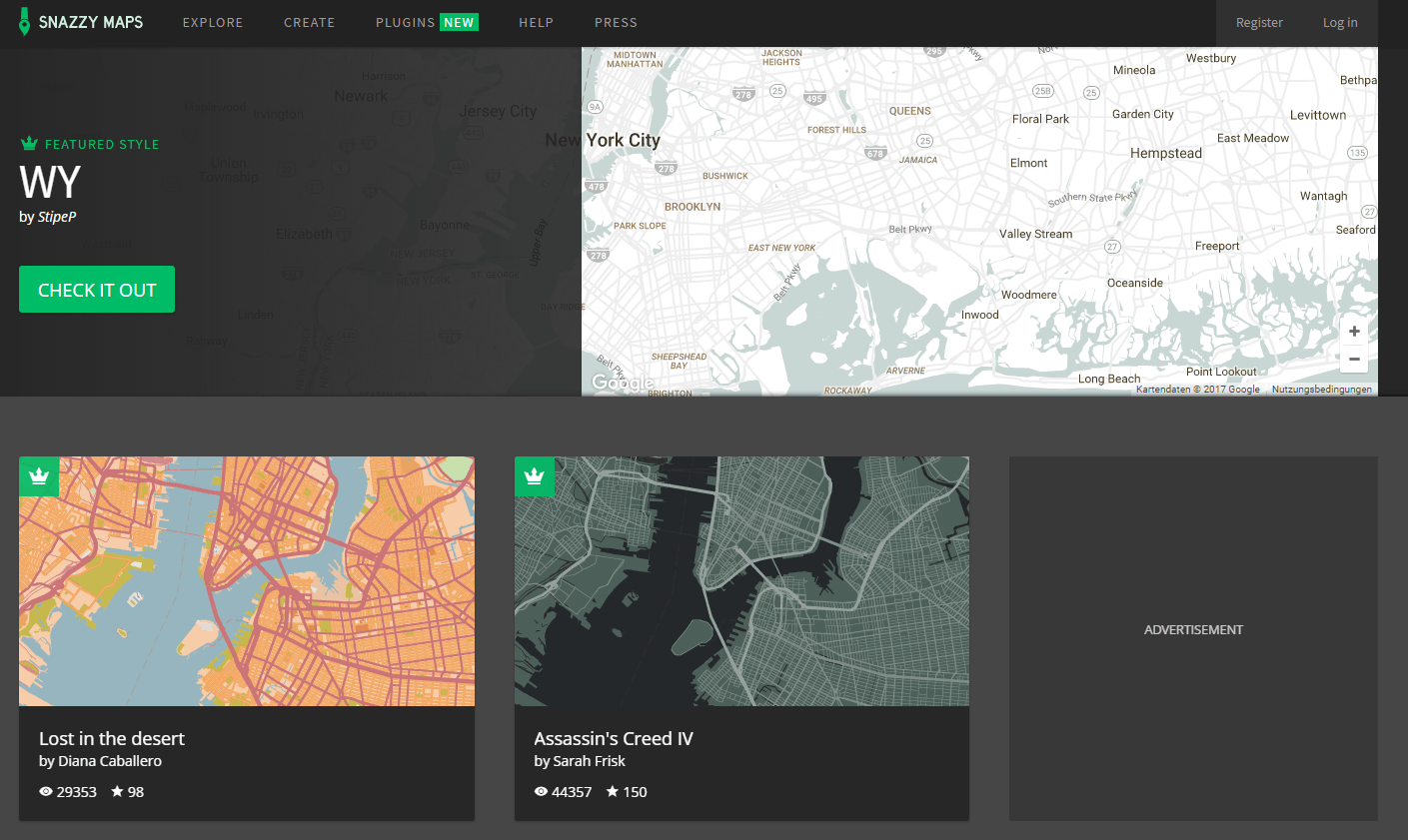
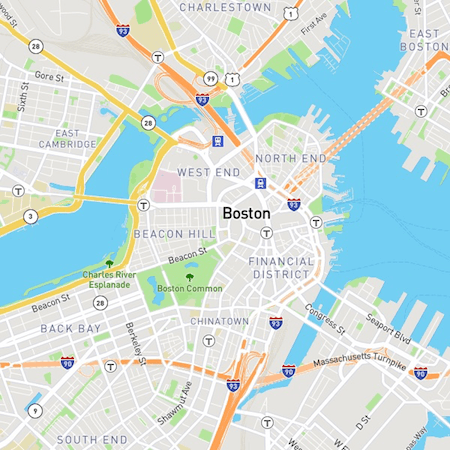
Google Maps is one of the most popular web-based map services. If you want to adjust its style you can easily define a custom style sheet and embed…
This post is just a quick update on a unique event unfolding in my home state of Alaska and a cool new tool to help you post image…
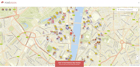
Until now I tried to ignore the worldwide Pokémon Go hype. But as the mobile game consists more or less of a map and some geo-related content, we…
Mapalomalia lets geologists create and visualize 3D geological models from their browsers. It’s a free to use geological modeling platform. I hope people will use it to convey information about…
Today I received the newsletter from Mapbox with interesting screenshots of their new mapstyles. The company convinced many users with nice basemap styles already in the past. Now…