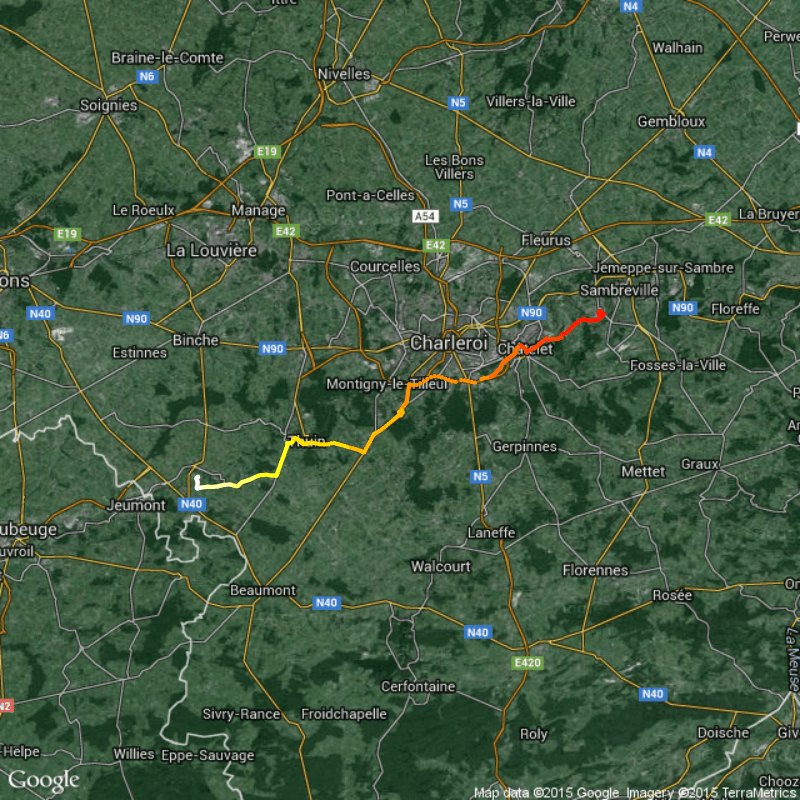
GPX overview: An R function to create an overview of your .gpx files (using leaflet and RgoogleMaps)
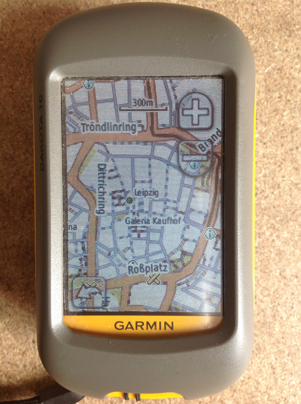
Why GPX? For what? It's convenient to record tracks of your hiking/field trips with the GPS of your smartphone, tablet or just GPS as .gpx files. You can…