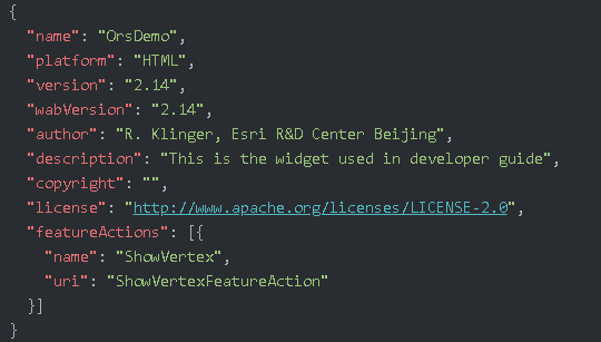
How to create a custom Web AppBuilder Widget for your Portal with ORS
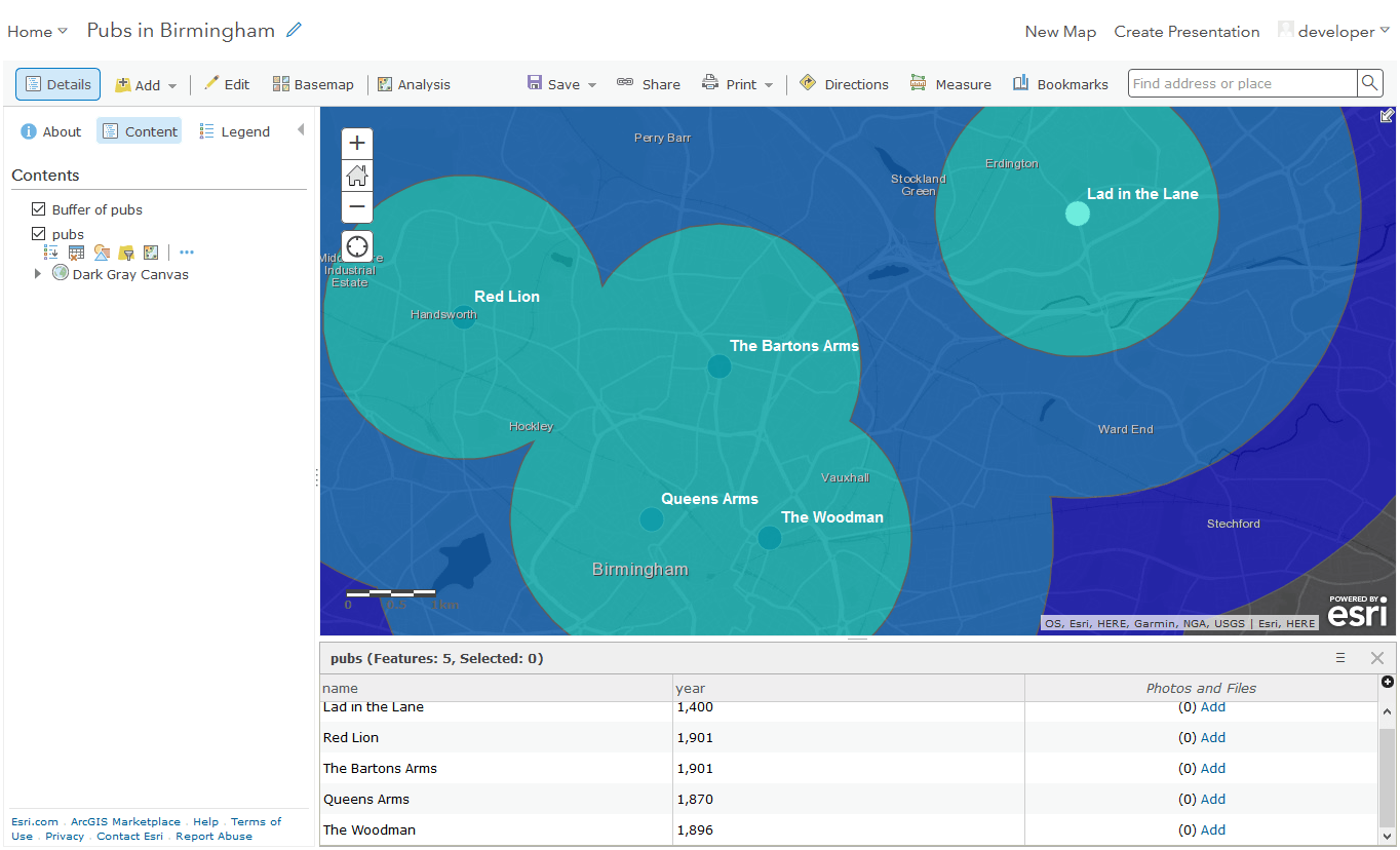
In the recent years I often worked with ArcGIS Portal / Enterprise and fell in love with the idea of writing widgets which I can use in the…

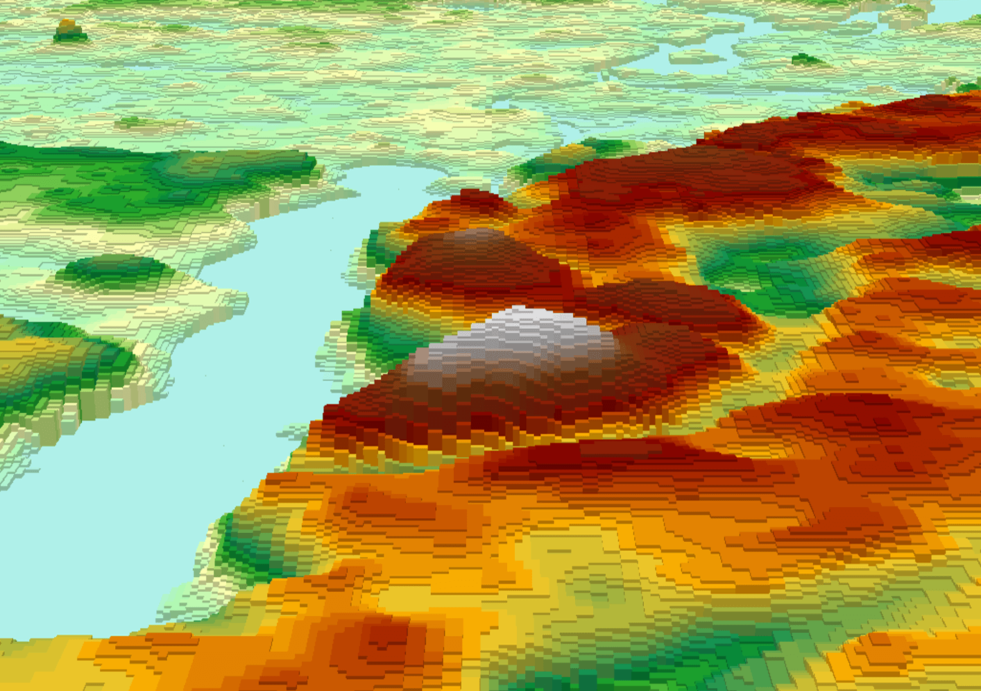
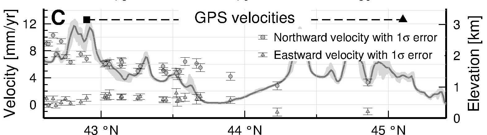
For a geomorphological study that I am working on I want to produce topographic swath profiles across a mountain range, that is, I want the average elevation along…
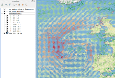
Introduction In this post we are going to look at how to get weather forecast data and display it as a layer in a desktop geographical information system…