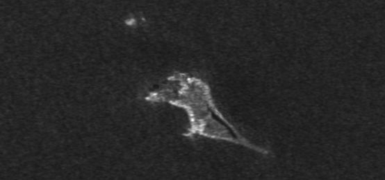
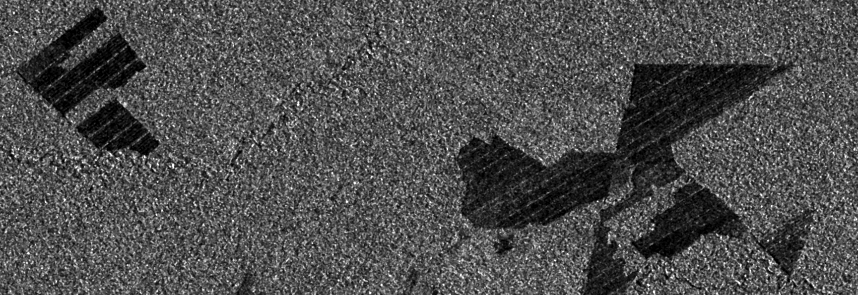
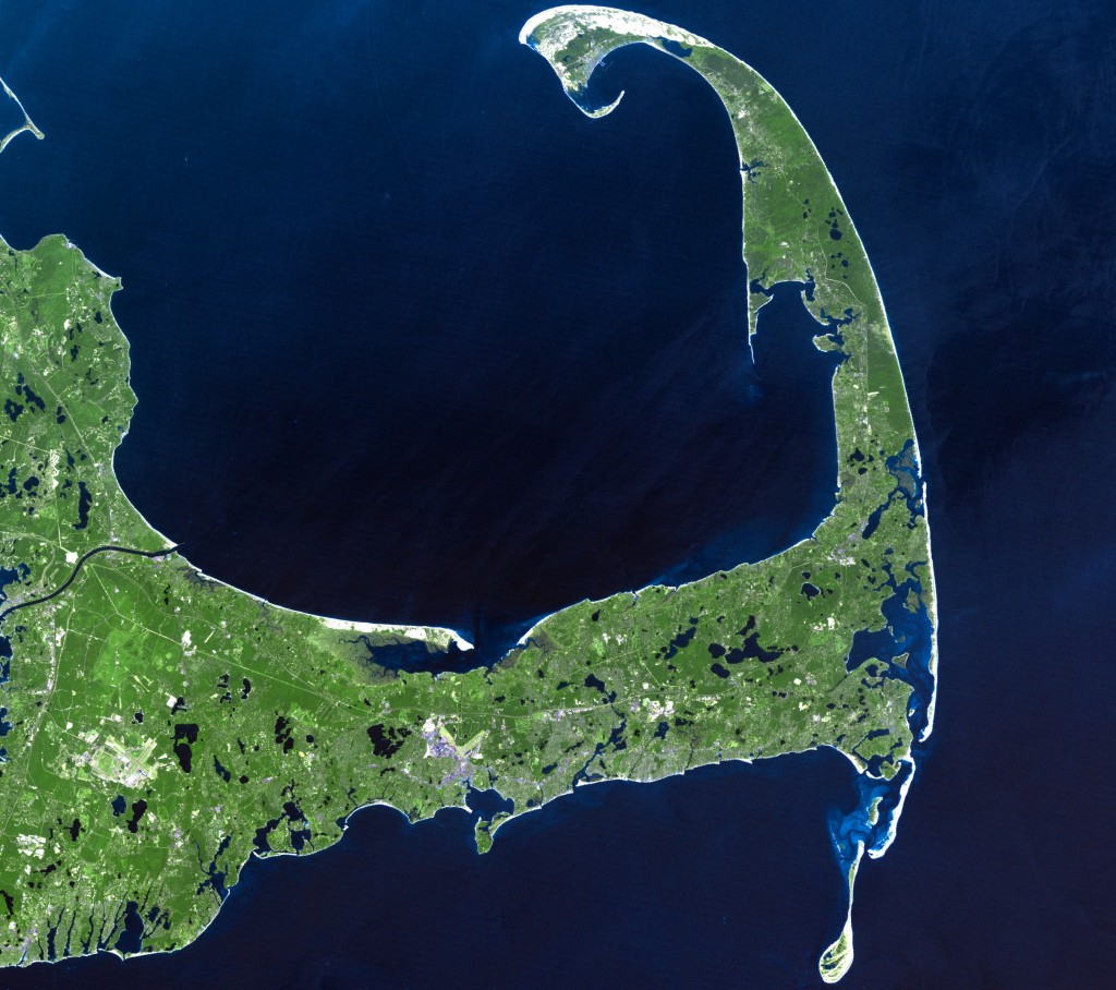
JuxtaposeJS and the Death (and Re-Birth) of Bogoslof Island
This post is just a quick update on a unique event unfolding in my home state of Alaska and a cool new tool to help you post image…
I am a engineer in Alaska, USA specializing in satellite remote sensing. In my spare time I like to program in Python and investigate techniques for high-resolution mapping using low-cost cameras and unmanned vehicles.
This post is just a quick update on a unique event unfolding in my home state of Alaska and a cool new tool to help you post image…
While preparing for an upcoming presentation at the annual meeting of the American Geophysical Union (AGU) I came across a topic that I thought might make an interesting blog…
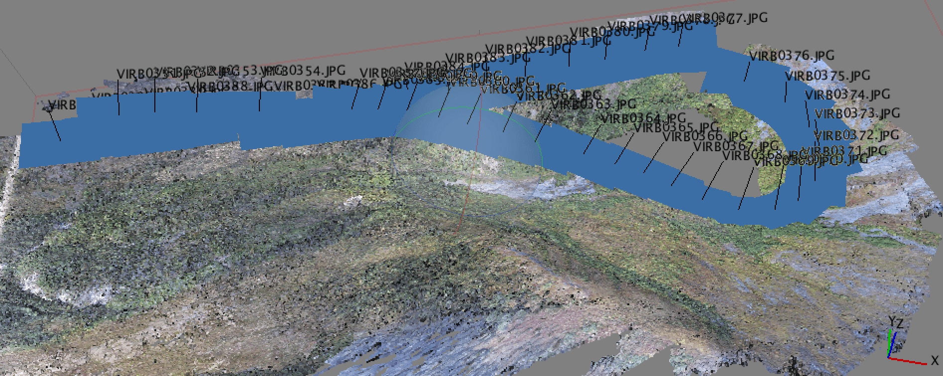
Why Geotagging? In a recent post, I discussed the new drone that I got for the holidays and a bit about how I was using it for…
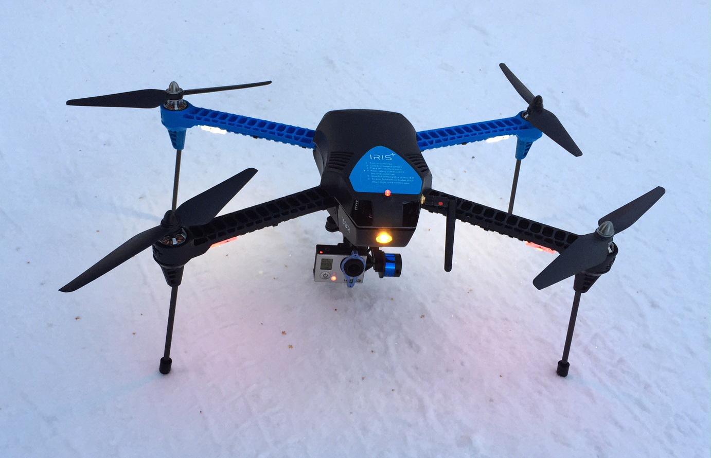
So, by now some of you have opened a holiday gift and it turned out to be a drone. I was fortunate enough this year to get a 3DR IRIS+…
It’s been a couple weeks since I’ve posted here, but I just found something I wanted to pass along. If you work with geospatial data, you are probably…
Previous Posts in this series QGIS Plugin – RasterCalc QGIS Plugin – OpenLayers So, this will be a pretty quick post on one of my most used…
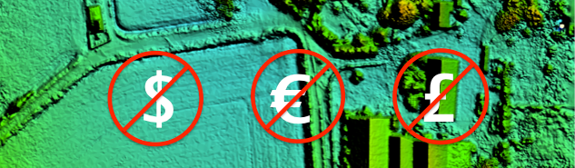
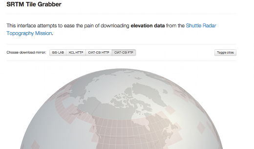
I’m always looking for good sources of free data, so I thought I would post a few here in case they were useful to others. The sources listed…
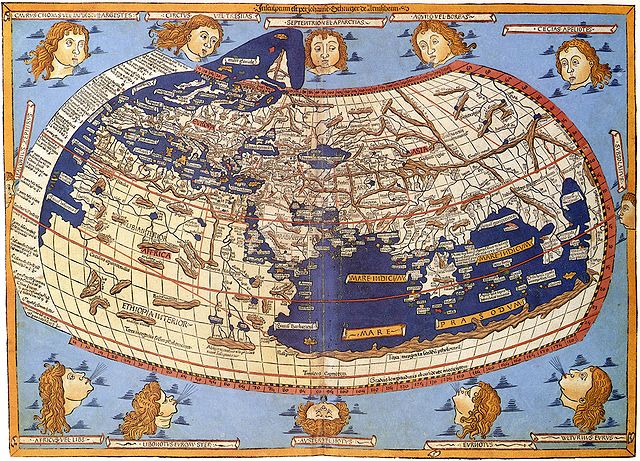
Map Projections The question of map projections and how to reproject data is one that comes up often in discussions with both experienced colleagues and those new to…
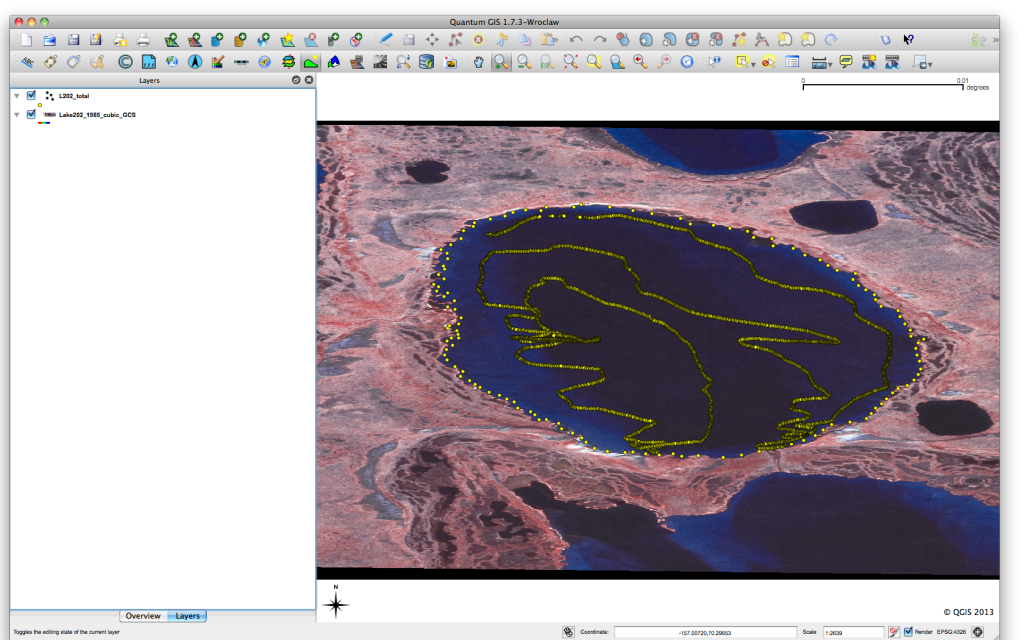
Previous posts in this series QGIS Plugin – RasterCalc QGIS Plugin – OpenLayers Point Sampling Tool I have recently been working on a project that has required the…
If you have been working in the space remote sensing community for any length of time you have almost certainly crossed paths with Landsat 5. After 29 years…
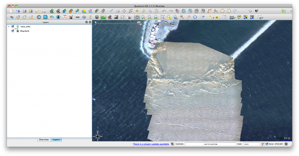
Click for previous article in this series about RasterCalc How often have you been working on a project in QGIS and wanted some nice background imagery, perhaps for…
GDAL Geotransforms and World Files The last post in this series considered how to write a geospatially aware file, in that case a Geotiff. In the example the…