Topography and Bathymetry: GDAL to the rescue
What’s GDAL? GDAL is the Geospatial Data Abstraction Library, it’s a library to transform raster and vector data and it’s the Swiss Knife of GIS. Topography and bathymetry…
What’s GDAL? GDAL is the Geospatial Data Abstraction Library, it’s a library to transform raster and vector data and it’s the Swiss Knife of GIS. Topography and bathymetry…
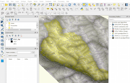
Last time we had the task to create mountain ranges polygons for the whole world. I prepared a small tutorial referred to that. Maybe you can find something…
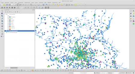
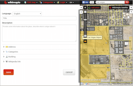
I often find myself in a situation where I want to work with large areas and datasets of OpenStreetMap data. No matter if you want to use them…

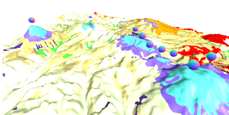
Mapalomalia lets geologists create and visualize 3D geological models from their browsers. It’s a free to use geological modeling platform. I hope people will use it to convey information about…
Today I received the newsletter from Mapbox with interesting screenshots of their new mapstyles. The company convinced many users with nice basemap styles already in the past. Now…