From Cloud to GIS: Getting Weather Data.
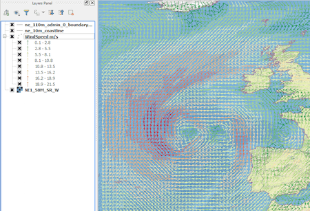
Introduction In this post we are going to look at how to get weather forecast data and display it as a layer in a desktop geographical information system…
Introduction In this post we are going to look at how to get weather forecast data and display it as a layer in a desktop geographical information system…
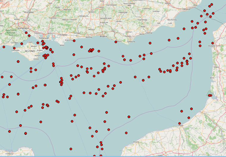
SAR images can see through clouds and in darkness, and are therefore very useful for operational monitoring of our seas. Detecting ships, icebergs, wind patterns, and oil spills…