Open Data in the UK
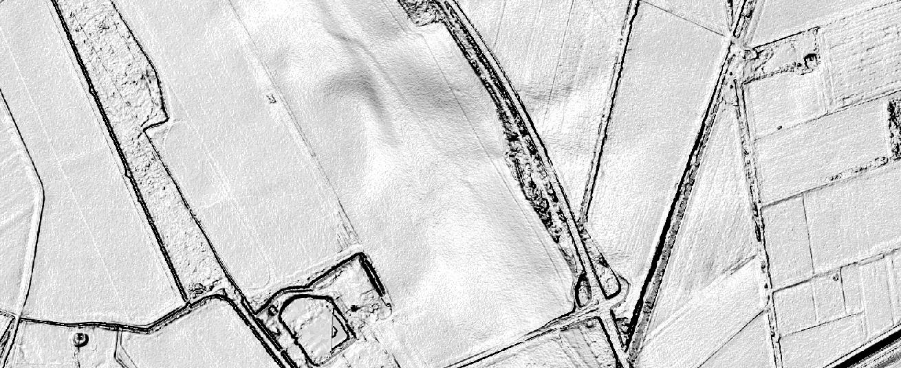
The Ordnance Survey is UK’s mapping agency and frequently releases free datasets. Their OpenData policy is quite progressive compared to Germany’s and they’ve recently published some fresh datasets…

The Ordnance Survey is UK’s mapping agency and frequently releases free datasets. Their OpenData policy is quite progressive compared to Germany’s and they’ve recently published some fresh datasets…


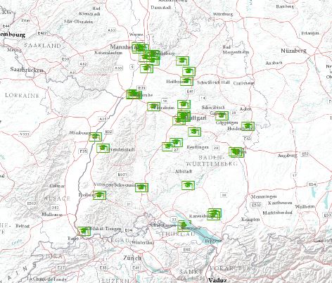
To map excel data onto a print- or webmap is one of the most needed and chosen data preparations. Companies and scientists are often highly interested in located…

