Playing Around With ArcPY…
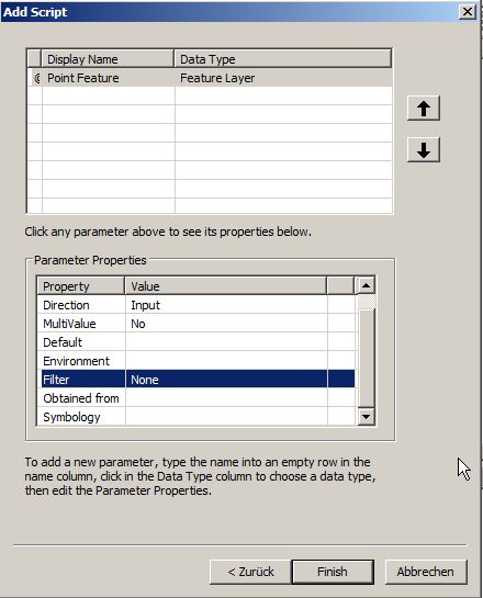
I was playing around with ArcPY and tried to recreate a version of the qgis2leaf plugin just for ArcGIS just to get to know that ArcGIS doesn’t seem…
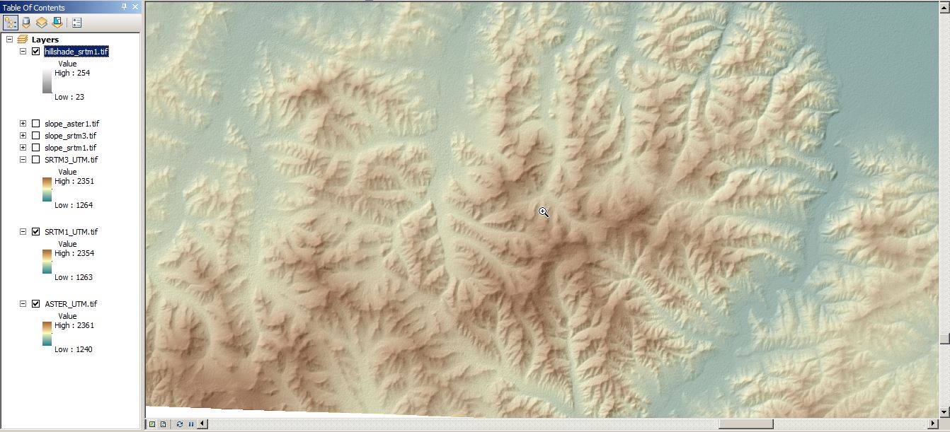
Since we are still in the International of Year of Soils , another Digital Soil Science post is ready. Some of you might already know that I’m addicted to…
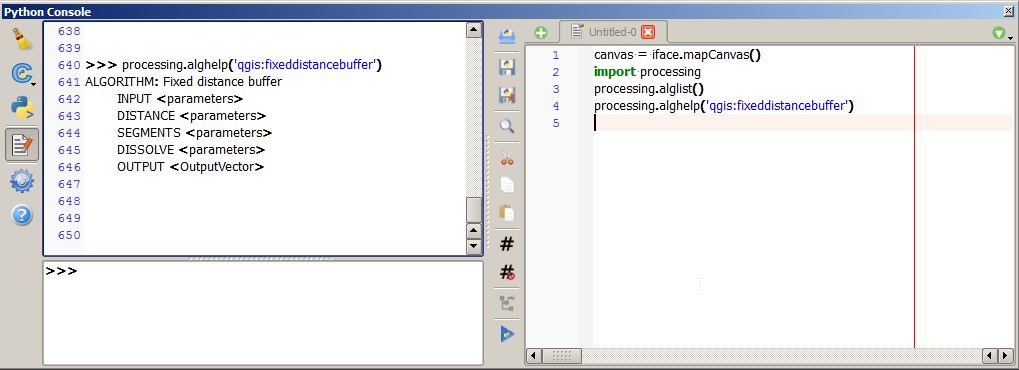
After my first attempt in Python scripting using opensource Geospatial Data Abstraction Library (GDAL), I wanted to use ArcPy in my second trial. The following code is so…
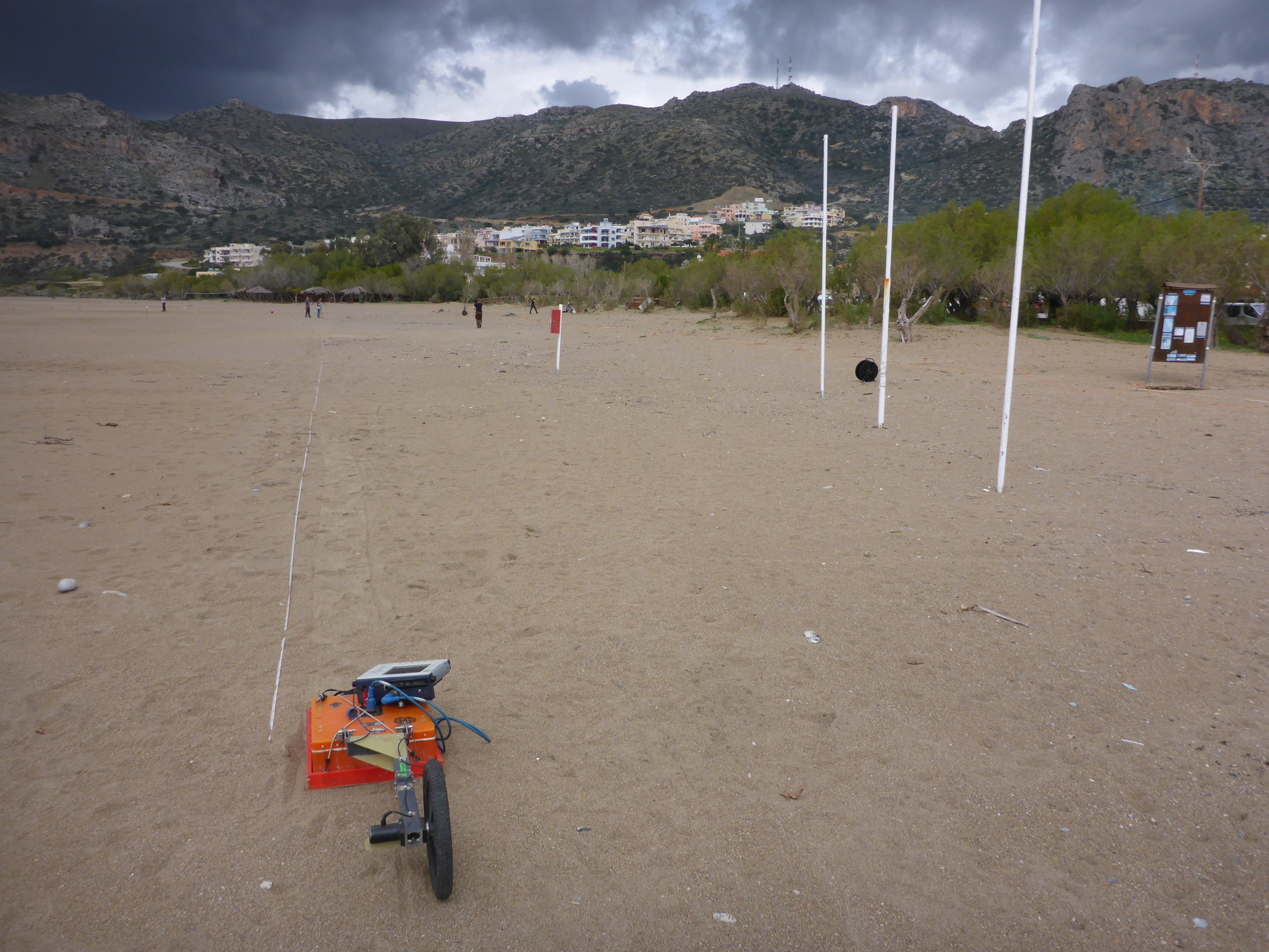
When you’re in the field you want to collect as much data as possible using all the expensive and heavy equipment you brought with. For instance, geophysical profiling…

With this post I would like to come back on a topic from September 2014. In this blog post on Digital-Geography I announced that from September 2014 until…
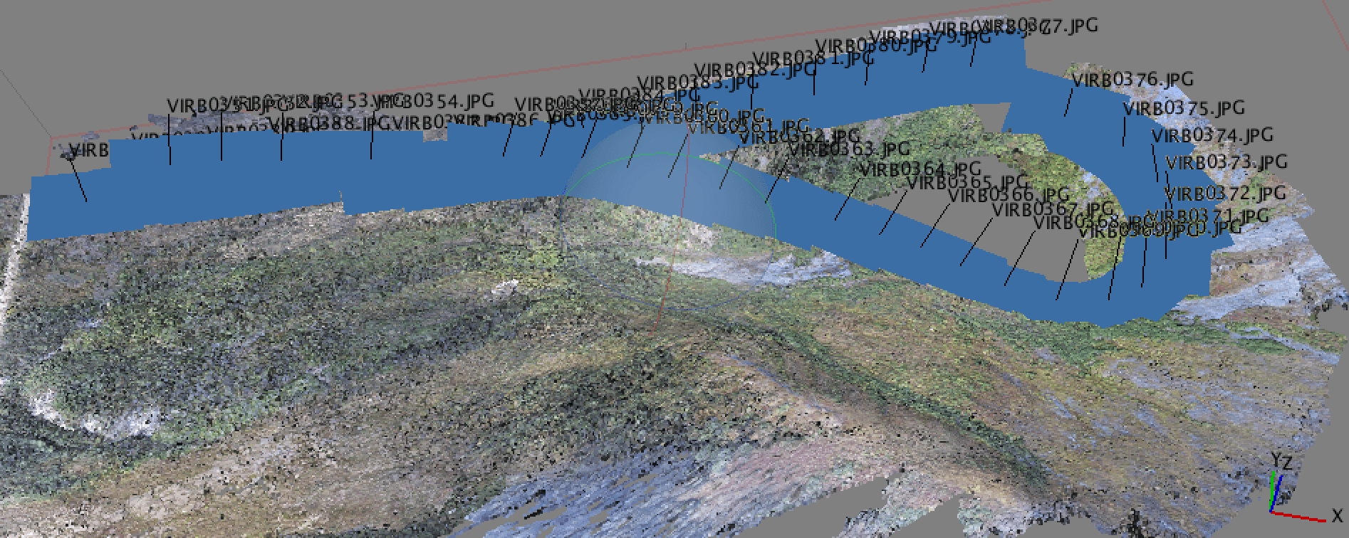
Why Geotagging? In a recent post, I discussed the new drone that I got for the holidays and a bit about how I was using it for…