
Mr. Dangermond, money and the need to work with ArcGIS
The last week one headline hit the floor of some GIS-blogs in the US: Jack Dangermond, the founder of GIS -ahm I mean ESRI- pledged about $1 billion…
The last week one headline hit the floor of some GIS-blogs in the US: Jack Dangermond, the founder of GIS -ahm I mean ESRI- pledged about $1 billion…
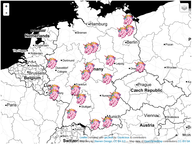
The last post about our famous qgis2leaf plugin showed a glimpse of what it is capable of: exporting all your features from a QGIS project to a working…
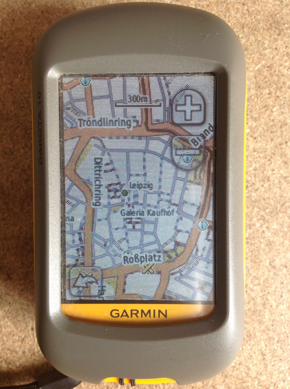
Since most people working with digital-data they are always interested in obtaining their own data using a Global Positioning System (GPS). Therefore I’ll give a short introduction for all…
Today I’ll start with a new series of tutorials for an open Source GIS called “ILWIS GIS“. ILWIS is the short term for “Integrated Land and Water Information System”…

Mapshaper by mbloch is one of my favourite “swiss army knife”-tools if you need fast data reduction and topology first aid in polygon data handling. There a two…