short announcement: RStudio with new debugger
I love scripting languages like R, MatLab, Python and Javascript. They are easy to learn and also fast in showing your results. But when it comes to debugging…
I love scripting languages like R, MatLab, Python and Javascript. They are easy to learn and also fast in showing your results. But when it comes to debugging…
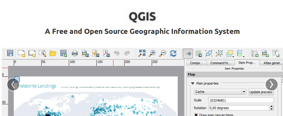
Today QGIS 2.0 was officially released and we will come up with several tutorials in the next weeks. First of all: the installation. As we are fans of…
Times are changing and so should a GIS. Since a long time there was the announcement to release QGIS 2.0 to the public by June. But as there…
< p align=”justify”>Digital elevation models (DEMs) exist today for the entire globe with consistent quality. Improvements in sensors and data processing give a clue that in the future…

A short time ago I’ve posted an article on the installation of QGIS in combination with a PostGIS database in the background. As we all know, Windows is…
A lot of you out there are probably working on Windows Systems using ArcGIS and I have to admit that the possibilities with ArcINFO in the background and…
Thanks to @seandebasti who enjoyed this year’s “Society of Cartographers Annual Conference” at Staffordshire University who send us a short link on Twitter. The link provides a huge…
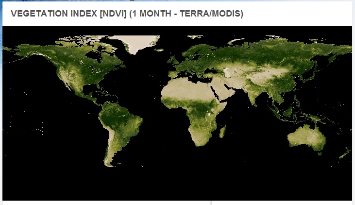
The NASA Earth Observations updated their data archive with fresh NDVI-Datasets from January 2013 to June.
I have to admit that I don’t know since when the Zugradar (train radar) of the Deutsche Bahn (DB) is online, but I found it per accident and…
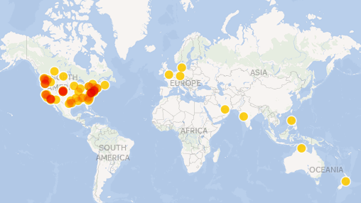
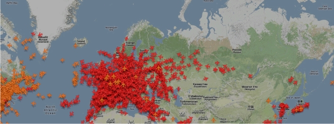
A short time of my day I am watching twitter like others are zapping the TV. A short time ago, there was this list out of nowhere: “the…
As I came across some posts from @qgiswatch I was very excited as it stated that there are some changes in the GIT of QGIS that looks just…
As Daniel already wrote: There is an awesome tool available online. With geojson.io you will be able to add, edit and remove spatial data used maybe in webmapping…