The End of the Landsat 5 Era
If you have been working in the space remote sensing community for any length of time you have almost certainly crossed paths with Landsat 5. After 29 years…
If you have been working in the space remote sensing community for any length of time you have almost certainly crossed paths with Landsat 5. After 29 years…
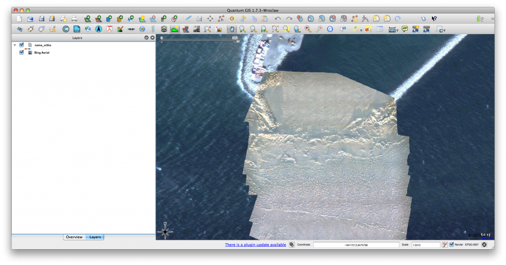
Click for previous article in this series about RasterCalc How often have you been working on a project in QGIS and wanted some nice background imagery, perhaps for…
Some days ago NASA has released “Black Marble”, an image of the world by night, a combination of photos taken by a new satellite. Its name was chosen…
OpenStreetMap ist ein wunderbares Projekt, dass ähnlich dem Wikipedia-Prinzip arbeitet und eine freie Weltkarte erstellen will. Damit ist das Projekt auch schon ganz gut fortgeschritten. Wer sich über…
So, we all know how a topographical map looks like. On a topographic map, we see different objects, which are indicated by different symbols. For example, we see…
GDAL Geotransforms and World Files The last post in this series considered how to write a geospatially aware file, in that case a Geotiff. In the example the…
Geochemical studies of igneous rocks are fundamental to classify rock types in terms of main-, minor-, trace element whole-rock chemistry. Together with petrographic observations from thin sections it…
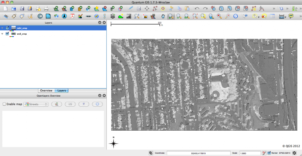
RasterCalc QGIS Plug-in QGIS is an open-source geographic information system that is familiar to many geospatial professionals. I find more and more that I’m able to use QGIS…
Writing Geospatial Files In the last post in this thread I began discussing basic syntax and how to open and read a geospatial raster file. This installment in…